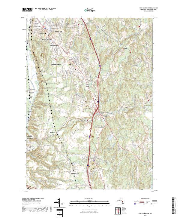
2023 Map of East Greenbush
USGS Topo · Published 2023About this map
The eastern banks of the Hudson River define this landscape, where riverine islands like Papscanee Island and Pixtaway Island sit alongside tidal features such as Stony Point. Moving inland, the terrain is shaped by a network of kills including the Moordener Kill and Vlockie Kill, which weave through a series of residential clusters and historical burial sites. Significant local history is preserved at the Greenbush Cem and East Greenbush Cem, serving as cornerstones for the community.
Find a feature on this map
156 named features on this map. Tap any name to fly to it.
Don’t see what you’re looking for? This feature index may not catch every label — zoom into the map to look around manually.
Map Details
Editions of this 2023 East Greenbush Map
This is the sole edition of this map. No revisions or reprints were ever made.
Other maps of this area

1893 · Troy
USGS Topo · 1:62,500

1893 · Coxsackie
USGS Topo · 1:62,500

1893 · Albany
USGS Topo · 1:62,500

1894 · Coxsackie
USGS Topo · 1:62,500

1895 · Troy
USGS Topo · 1:62,500

1895 · Albany
USGS Topo · 1:62,500

1898 · Albany
USGS Topo · 1:62,500

1898 · Troy
USGS Topo · 1:62,500

1903 · Kinderhook
USGS Topo · 1:62,500

1925 · Troy
USGS Topo · 1:48,000