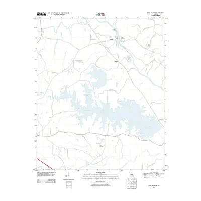
2011 Map of East Juliette
USGS Topo · Published 2011About this map
The confluence of the Towaliga River and the Ocmulgee River defines the landscape of this central Georgia region, where the historic settlement of Juliette and its neighbor East Juliette sit along the riverbanks. The vast waters of Juliette Lake dominate the southern portion of the map, fed by Rum Creek and surrounded by a network of local roads such as Ponder Trammell Rd and Holly Grove Rd. For those researching local families, the map identifies several burial sites, including the Newby-Mitchell Cemetery and Ebenezer Cemetery. Transportation infrastructure is prominently featured, with the Jerry Wadley Memorial Bridge crossing the Ocmulgee and the Hinton Shoals Bridge situated to the northwest. The industrial presence of the Georgia Power Company Rd near Percale highlights the utility infrastructure integrated into the river valley's geography.
Find a feature on this map
63 named features on this map. Tap any name to fly to it.
Don’t see what you’re looking for? This feature index may not catch every label — zoom into the map to look around manually.
Map Details
Editions of this 2011 East Juliette Map
This is the sole edition of this map. No revisions or reprints were ever made.
Other maps of this area

1951 · Forsyth
USGS Topo · 1:62,500

1953 · Athens
USGS Topo · 1:250,000

1956 · Bolingbroke
USGS Topo · 1:62,500

1956 · Macon
USGS Topo · 1:62,500

1957 · Macon
USGS Topo · 1:250,000

1958 · Macon
USGS Topo · 1:250,000

1958 · Athens
USGS Topo · 1:250,000

1959 · Athens
USGS Topo · 1:250,000

1963 · Athens
USGS Topo · 1:250,000

1964 · Macon
USGS Topo · 1:250,000