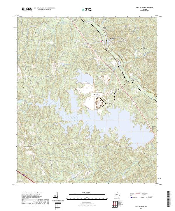
2024 Map of East Juliette
USGS Topo · Published 2024About this map
The Ocmulgee River carves through the landscape of northern Monroe County, marking the boundary with Jones County and defining the character of this Middle Georgia region. At the confluence with the Towaliga River, the settlements of Juliette and East Juliette remain key cultural hubs, while the smaller community of Percale lies further south. The map reveals a complex network of waterways, including Berry Creek, Rum Creek, and the intricate fingers of Hicks Lake, which dominate the central terrain.
Find a feature on this map
74 named features on this map. Tap any name to fly to it.
Don’t see what you’re looking for? This feature index may not catch every label — zoom into the map to look around manually.
Map Details
Editions of this 2024 East Juliette Map
This is the sole edition of this map. No revisions or reprints were ever made.
Other maps of this area

1951 · Forsyth
USGS Topo · 1:62,500

1953 · Athens
USGS Topo · 1:250,000

1956 · Bolingbroke
USGS Topo · 1:62,500

1956 · Macon
USGS Topo · 1:62,500

1957 · Macon
USGS Topo · 1:250,000

1958 · Macon
USGS Topo · 1:250,000

1958 · Athens
USGS Topo · 1:250,000

1959 · Athens
USGS Topo · 1:250,000

1963 · Athens
USGS Topo · 1:250,000

1964 · Macon
USGS Topo · 1:250,000