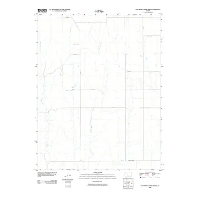
2009 Map of East Kiowa Creek North
USGS Topo · Published 2009About this map
East Kiowa Creek and its neighboring drainages define the landscape of this rural Kansas territory, showing a classic high plains prairie water system. The intermittent flows of Wiggins Creek and Middle Kiowa Creek converge toward the south, carving subtle drainage patterns across the terrain. This 2009 survey by the U.S. Geological Survey records the established grid of agricultural access roads, such as Co Rd U and County Line Rd, which partition the land into the large sections characteristic of Kiowa County ranching and farming operations. The network of local routes like Kc Rd 12 and Kc St Q5 provides a detailed look at the rural infrastructure supporting the isolated homesteads and agrarian economy of the region in the early 21st century.
Find a feature on this map
16 named features on this map. Tap any name to fly to it.
Don’t see what you’re looking for? This feature index may not catch every label — zoom into the map to look around manually.
Map Details
Editions of this 2009 East Kiowa Creek North Map
This is the sole edition of this map. No revisions or reprints were ever made.
Other maps of this area

1889 · Kinsley
USGS Topo · 1:125,000

1892 · Kinsley
USGS Topo · 1:125,000

1892 · Spearville
USGS Topo · 1:125,000

1892 · Coldwater
USGS Topo · 1:125,000

1894 · Spearville
USGS Topo · 1:125,000

1894 · Kinsley
USGS Topo · 1:125,000

1896 · Ashland
USGS Topo · 1:125,000

1955 · Pratt
USGS Topo · 1:250,000

1959 · Pratt
USGS Topo · 1:250,000

1969 · Bucklin SE
USGS Topo · 1:24,000