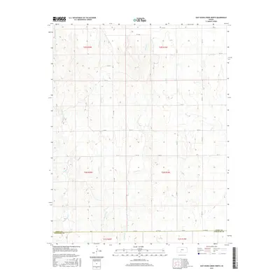
2015 Map of East Kiowa Creek North
USGS Topo · Published 2015About this map
East Kiowa Cr and its tributaries carve a network of drainage patterns across this rural landscape along the boundary of Kiowa and Comanche Counties. This 2015 U.S. Geological Survey representation of the high plains environment illustrates a strictly organized section-line road system that persists despite the undulating topography. Local transit relies on a grid of numbered and lettered routes such as KC St Q and KC Av 17, which navigate the rises between seasonal watercourses like Wiggins Cr and Middle Kiowa Cr. The landscape is defined by its transition between townships t29s r19w and t30s r20w, where the lack of concentrated town centers emphasizes the area's agricultural character. This level of detail provides an essential record of modern rural land use and the enduring Public Land Survey System boundaries in south-central Kansas.
Find a feature on this map
28 named features on this map. Tap any name to fly to it.
Don’t see what you’re looking for? This feature index may not catch every label — zoom into the map to look around manually.
Map Details
Editions of this 2015 East Kiowa Creek North Map
This is the sole edition of this map. No revisions or reprints were ever made.
Other maps of this area

1889 · Kinsley
USGS Topo · 1:125,000

1892 · Kinsley
USGS Topo · 1:125,000

1892 · Spearville
USGS Topo · 1:125,000

1892 · Coldwater
USGS Topo · 1:125,000

1894 · Spearville
USGS Topo · 1:125,000

1894 · Kinsley
USGS Topo · 1:125,000

1896 · Ashland
USGS Topo · 1:125,000

1955 · Pratt
USGS Topo · 1:250,000

1959 · Pratt
USGS Topo · 1:250,000

1969 · Bucklin SE
USGS Topo · 1:24,000