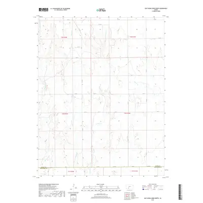
2018 Map of East Kiowa Creek North
USGS Topo · Published 2018About this map
Middle Kiowa Cr and Wiggins Cr thread through this section of rural Kansas, where the landscape is defined by the headwaters and drainage patterns of the Kiowa Creek system. The survey area straddles the southern boundary of Kiowa Co and the northern edge of Comanche Co, a line formally marked by Co Line Rd. The terrain is shaped by numerous ephemeral drainages including E Kiowa Cr and Mule Cr, which create a series of subtle draws across the high plains. The map's grid-like road network, featuring local thoroughfares like Co Rd Q and KC 12 RD, reflects the systematic section-line development characteristic of this agricultural region. This survey provides a precise record of the upland drainage basins and the intersection of two prairie counties just before the close of the 2010s.
Find a feature on this map
28 named features on this map. Tap any name to fly to it.
Don’t see what you’re looking for? This feature index may not catch every label — zoom into the map to look around manually.
Map Details
Editions of this 2018 East Kiowa Creek North Map
This is the sole edition of this map. No revisions or reprints were ever made.
Other maps of this area
1889 · Kinsley
USGS Topo · 1:125,000
1892 · Kinsley
USGS Topo · 1:125,000
1892 · Spearville
USGS Topo · 1:125,000
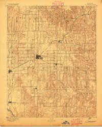
1892 · Coldwater
USGS Topo · 1:125,000
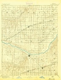
1894 · Spearville
USGS Topo · 1:125,000
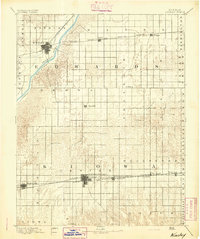
1894 · Kinsley
USGS Topo · 1:125,000
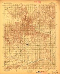
1896 · Ashland
USGS Topo · 1:125,000
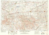
1955 · Pratt
USGS Topo · 1:250,000
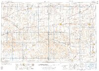
1959 · Pratt
USGS Topo · 1:250,000
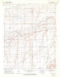
1969 · Bucklin SE
USGS Topo · 1:24,000