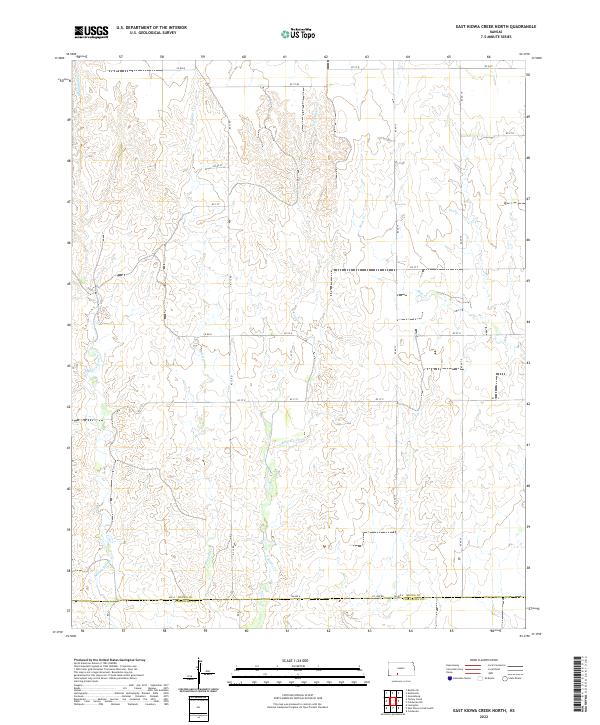
2022 Map of East Kiowa Creek North
USGS Topo · Published 2022About this map
Middle Kiowa Creek and East Kiowa Creek carve through this landscape at the boundary of Kiowa County and Comanche County. This 2022 survey documents a rural Kansas prairie defined by its drainage systems, including Mule Creek and Wiggins Creek, which structure the local topography. The map reveals a strictly regulated grid of section lines and township boundaries such as t29s r20w and t30s r19w, intersected by a network of county roads like KC 12 Road and County Line Road. These transport corridors, including CM Avenue A, follow the cardinal directions across the terrain, reflecting the enduring legacy of the Public Land Survey System in organizing the agricultural and ranching interior of the High Plains.
Find a feature on this map
27 named features on this map. Tap any name to fly to it.
Don’t see what you’re looking for? This feature index may not catch every label — zoom into the map to look around manually.
Map Details
Editions of this 2022 East Kiowa Creek North Map
This is the sole edition of this map. No revisions or reprints were ever made.
Other maps of this area

1889 · Kinsley
USGS Topo · 1:125,000

1892 · Kinsley
USGS Topo · 1:125,000

1892 · Spearville
USGS Topo · 1:125,000

1892 · Coldwater
USGS Topo · 1:125,000

1894 · Spearville
USGS Topo · 1:125,000

1894 · Kinsley
USGS Topo · 1:125,000

1896 · Ashland
USGS Topo · 1:125,000

1955 · Pratt
USGS Topo · 1:250,000

1959 · Pratt
USGS Topo · 1:250,000

1969 · Bucklin SE
USGS Topo · 1:24,000