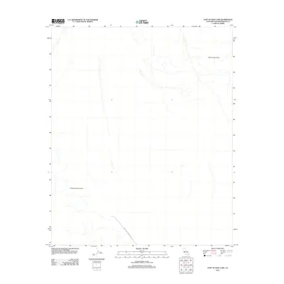
2012 Map of East of Dale Lake
USGS Topo · Published 2012About this map
Sheep Hole Mountains and the Calumet Mountains define the arid landscape of this San Bernardino County desert expanse. The 2012 USGS study captures a transition zone where steep mountain slopes give way to broad alluvial fans and washes. A single thoroughfare, Sheep Hole Mountains Rd, provides the primary access through the southern portion of the quadrangle. This area represents a characteristic Mojave Desert environment where natural drainage patterns and topographical shifts are the dominant features, largely devoid of modern settlements or complex infrastructure beyond the essential roadway.
Find a feature on this map
3 named features on this map. Tap any name to fly to it.
Don’t see what you’re looking for? This feature index may not catch every label — zoom into the map to look around manually.
Map Details
Editions of this 2012 East of Dale Lake Map
This is the sole edition of this map. No revisions or reprints were ever made.
Other maps of this area

1942 · Amboy
USGS Topo · 1:250,000

1943 · Amboy
USGS Topo · 1:250,000
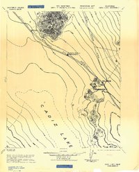
1943 · Cadiz Lake
USGS Topo · 1:62,500
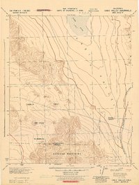
1943 · Cadiz Valley
USGS Topo · 1:62,500

1954 · Needles
USGS Topo · 1:250,000
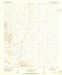
1954 · Bristol Lake SW
USGS Topo · 1:24,000
1956 · Needles
USGS Topo · 1:250,000
1956 · Dale Lake
USGS Topo · 1:62,500
1956 · Bristol Lake
USGS Topo · 1:62,500
1956 · Cadiz Lake
USGS Topo · 1:62,500