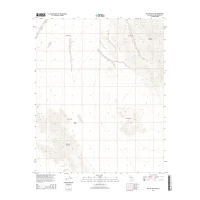
2015 Map of East of Dale Lake
USGS Topo · Published 2015About this map
Sheep Hole Mountains rise in the southwestern quadrant of this arid landscape, facing the Calumet Mountains that anchor the northeast. Situated within the broader Mojave Desert, the area is defined by sharp elevation changes and the dry alluvial fans that spill from the mountain bases. The absence of modern development is reflected in the vast stretches of section lines, with the Public Land Survey System identifying townships such as t2n r13e and t1n r14e. This map illustrates the raw topography of the California high desert as it was documented in 2015, showing the complex contour patterns of the mountain slopes and the wide, open basins between these two prominent ranges.
Find a feature on this map
7 named features on this map. Tap any name to fly to it.
Don’t see what you’re looking for? This feature index may not catch every label — zoom into the map to look around manually.
Map Details
Editions of this 2015 East of Dale Lake Map
This is the sole edition of this map. No revisions or reprints were ever made.
Other maps of this area

1942 · Amboy
USGS Topo · 1:250,000

1943 · Amboy
USGS Topo · 1:250,000
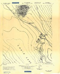
1943 · Cadiz Lake
USGS Topo · 1:62,500
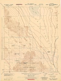
1943 · Cadiz Valley
USGS Topo · 1:62,500

1954 · Needles
USGS Topo · 1:250,000
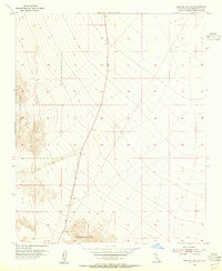
1954 · Bristol Lake SW
USGS Topo · 1:24,000
1956 · Needles
USGS Topo · 1:250,000
1956 · Dale Lake
USGS Topo · 1:62,500
1956 · Bristol Lake
USGS Topo · 1:62,500
1956 · Cadiz Lake
USGS Topo · 1:62,500