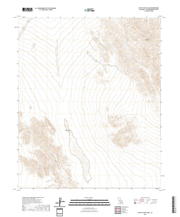
2021 Map of East of Dale Lake
USGS Topo · Published 2021About this map
Sheep Hole Mountains define the southwestern corner of this desert landscape, where they rise sharply above the floor of the Mojave Desert. This area is characterized by vast alluvial fans and dry washes that transition from the steep terrain of the Calumet Mountains in the northeast toward the low-lying basin. The map illustrates the geometric overlay of the Public Land Survey System, specifically t2n r13e, t2n r14e, t1n r13e, and t1n r14e, which divides this arid wilderness into formal townships. There are no paved roads or settlements shown, emphasizing the isolation of this corner of San Bernardino County during the early twenty-first century. The intricate contour lines reveal the complex drainage patterns and erosion that have shaped the transition zones between these two distinct mountain ranges.
Find a feature on this map
7 named features on this map. Tap any name to fly to it.
Don’t see what you’re looking for? This feature index may not catch every label — zoom into the map to look around manually.
Map Details
Editions of this 2021 East of Dale Lake Map
This is the sole edition of this map. No revisions or reprints were ever made.
Other maps of this area

1942 · Amboy
USGS Topo · 1:250,000

1943 · Amboy
USGS Topo · 1:250,000

1943 · Cadiz Lake
USGS Topo · 1:62,500

1943 · Cadiz Valley
USGS Topo · 1:62,500

1954 · Needles
USGS Topo · 1:250,000

1954 · Bristol Lake SW
USGS Topo · 1:24,000

1956 · Needles
USGS Topo · 1:250,000

1956 · Dale Lake
USGS Topo · 1:62,500

1956 · Bristol Lake
USGS Topo · 1:62,500

1956 · Cadiz Lake
USGS Topo · 1:62,500