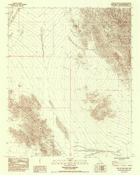
1985 Map of East of Dale Lake
USGS Topo · Published 1985About this map
The Sheep Hole Mountains dominate the western portion of this mid-1980s topographic record, rising abruptly from the surrounding desert floor. This 1985 survey, based on aerial photographs from 1977 and field checks from 1978, illustrates a landscape defined by dramatic elevation changes and dry wash systems that extend across the boundary of R 13 E and R 14 E. The map's contour lines reveal the intricate canyons and ridges of the mountain range, while the vast desert expanse to the east shows the characteristic alluvial patterns of the San Bernardino County interior. As a provisional edition, this document represents the primary surveying data available at the time, focusing on the natural geomorphology and the survey grid rather than man-made infrastructure.
Find a feature on this map
3 named features on this map. Tap any name to fly to it.
Don’t see what you’re looking for? This feature index may not catch every label — zoom into the map to look around manually.
Map Details
Editions of this 1985 East of Dale Lake Map
This is the sole edition of this map. No revisions or reprints were ever made.
Other maps of this area

1942 · Amboy
USGS Topo · 1:250,000

1943 · Amboy
USGS Topo · 1:250,000

1943 · Cadiz Lake
USGS Topo · 1:62,500

1943 · Cadiz Valley
USGS Topo · 1:62,500

1954 · Needles
USGS Topo · 1:250,000

1954 · Bristol Lake SW
USGS Topo · 1:24,000

1956 · Needles
USGS Topo · 1:250,000

1956 · Dale Lake
USGS Topo · 1:62,500

1956 · Bristol Lake
USGS Topo · 1:62,500

1956 · Cadiz Lake
USGS Topo · 1:62,500