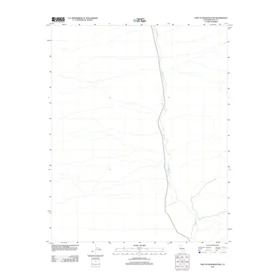
2012 Map of East of Deadman Pass
USGS Topo · Published 2012About this map
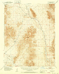
Amargosa River defines the central axis of this arid landscape in Inyo County, following a north-south path through the desert floor. The 2012 survey by the U.S. Geological Survey traces this intermittent drainage alongside Highway 127, providing a precise record of the corridor’s natural and man-made infrastructure. The map depicts a stark environment where the rare desert watercourse and the primary roadway are the dominant features. Researchers can examine the detailed topography and drainage patterns surrounding this vital transit route through the California desert.
Find a feature on this map
2 named features on this map. Tap any name to fly to it.
Don’t see what you’re looking for? This feature index may not catch every label — zoom into the map to look around manually.
Map Details
Editions of this 2012 East of Deadman Pass Map
This is the sole edition of this map. No revisions or reprints were ever made.
Other maps of this area

1908 · Furnace Creek
USGS Topo · 1:250,000

1910 · Furnace Creek
USGS Topo · 1:250,000

1933 · Avawatz Mountains
USGS Topo · 1:250,000
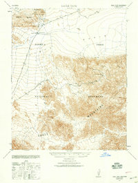
1940 · Eagle Tank
USGS Topo · 1:62,500

1947 · Trona
USGS Topo · 1:250,000

1948 · Trona
USGS Topo · 1:250,000

1948 · Death Valley
USGS Topo · 1:250,000
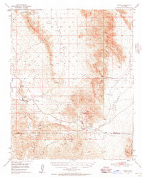
1950 · Tecopa
USGS Topo · 1:62,500
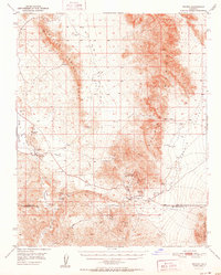
1951 · Tecopa
USGS Topo · 1:62,500
1951 · Eagle Mtn
USGS Topo · 1:62,500