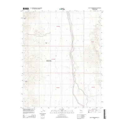
2015 Map of East of Deadman Pass
USGS Topo · Published 2015About this map
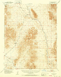
The Death Valley National Park boundary encompasses a significant portion of this high-desert landscape, where the ephemeral Amargosa River cuts a north-south path through the valley floor. The terrain is defined by the sharp elevations of the Amargosa Range to the northwest and the Greenwater Range to the southwest, illustrating the dramatic topography of the Mojave Desert. This 2015 survey provides a modern snapshot of the protected federal lands and the preserved natural drainage systems that characterize the eastern edge of the park. The map's detail is particularly useful for tracking the river's winding course through an arid environment where water is the primary architect of the land.
Find a feature on this map
10 named features on this map. Tap any name to fly to it.
Don’t see what you’re looking for? This feature index may not catch every label — zoom into the map to look around manually.
Map Details
Editions of this 2015 East of Deadman Pass Map
This is the sole edition of this map. No revisions or reprints were ever made.
Other maps of this area

1908 · Furnace Creek
USGS Topo · 1:250,000

1910 · Furnace Creek
USGS Topo · 1:250,000

1933 · Avawatz Mountains
USGS Topo · 1:250,000
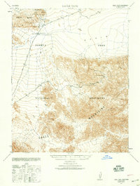
1940 · Eagle Tank
USGS Topo · 1:62,500

1947 · Trona
USGS Topo · 1:250,000

1948 · Trona
USGS Topo · 1:250,000

1948 · Death Valley
USGS Topo · 1:250,000
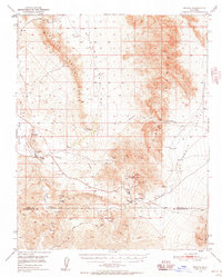
1950 · Tecopa
USGS Topo · 1:62,500
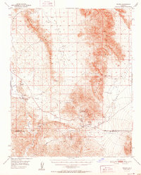
1951 · Tecopa
USGS Topo · 1:62,500
1951 · Eagle Mtn
USGS Topo · 1:62,500