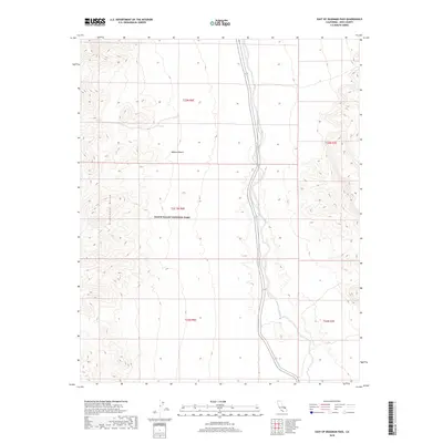
2018 Map of East of Deadman Pass
USGS Topo · Published 2018About this map
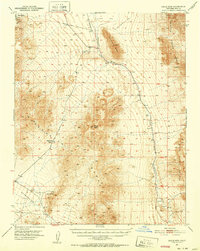
Death Valley National Park encompasses much of this arid landscape in the southeastern corner of Inyo County. The drainage of the Amargosa River cuts a prominent north-south path through the center of the sheet, followed closely by the route of State Highway 127. This section of the Mojave Desert is characterized by extreme topographic relief, transitioning from the river basin up into the high peaks of the Greenwater Range to the west. The map documents a largely undeveloped wilderness where human presence is defined primarily by the single highway corridor and the established boundaries of the national park. Researchers can observe the complex alluvial fans and desert wash patterns that define the hydrological character of this portion of the Amargosa Valley before the river's path turns toward the Badwater Basin.
Find a feature on this map
10 named features on this map. Tap any name to fly to it.
Don’t see what you’re looking for? This feature index may not catch every label — zoom into the map to look around manually.
Map Details
Editions of this 2018 East of Deadman Pass Map
This is the sole edition of this map. No revisions or reprints were ever made.
Other maps of this area

1908 · Furnace Creek
USGS Topo · 1:250,000

1910 · Furnace Creek
USGS Topo · 1:250,000

1933 · Avawatz Mountains
USGS Topo · 1:250,000
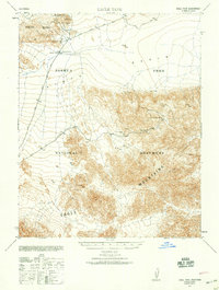
1940 · Eagle Tank
USGS Topo · 1:62,500

1947 · Trona
USGS Topo · 1:250,000

1948 · Trona
USGS Topo · 1:250,000

1948 · Death Valley
USGS Topo · 1:250,000
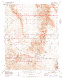
1950 · Tecopa
USGS Topo · 1:62,500
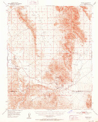
1951 · Tecopa
USGS Topo · 1:62,500
1951 · Eagle Mtn
USGS Topo · 1:62,500