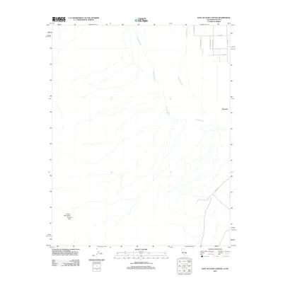
2012 Map of East of Echo Canyon
USGS Topo · Published 2012About this map
Amargosa River and Fortymile Wash define the arid drainage patterns of this desert landscape on the California-Nevada border. The terrain is marked by the prominence of the Funeral Mountains Pyramid Peak to the southwest, while the northeastern corner shows a developing grid of named roads including Casada Rd and Mecca Rd. The small settlement of Scranton sits along the eastern edge, connected to the surrounding region by local routes like Invite Rd. The juxtaposition of these early 21st-century residential footprints against the stark geology of the Amargosa basin illustrates the modern human expansion into high-desert environments.
Find a feature on this map
12 named features on this map. Tap any name to fly to it.
Don’t see what you’re looking for? This feature index may not catch every label — zoom into the map to look around manually.
Map Details
Editions of this 2012 East of Echo Canyon Map
This is the sole edition of this map. No revisions or reprints were ever made.
Other maps of this area

1908 · Furnace Creek
USGS Topo · 1:250,000

1910 · Furnace Creek
USGS Topo · 1:250,000
1942 · Skull Mountain
USGS Topo · 1:125,000
1942 · Bullfrog
USGS Topo · 1:125,000

1948 · Death Valley
USGS Topo · 1:250,000
1952 · Ash Meadows
USGS Topo · 1:62,500
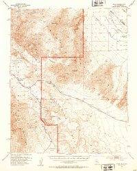
1952 · Ryan
USGS Topo · 1:62,500
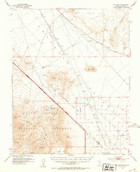
1952 · Big Dune
USGS Topo · 1:62,500

1954 · Death Valley
USGS Topo · 1:250,000

1956 · Death Valley
USGS Topo · 1:250,000