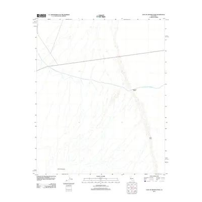
2012 Map of East of Granite Pass
USGS Topo · Published 2012About this map
The Colorado River Aqueduct traverses this arid stretch of San Bernardino County, a critical piece of water infrastructure that defines the local landscape. This engineered waterway cuts across the desert floor, supported by specific technical installations like the Sand Draw Siphon where it encounters the natural drainage of Sand Draw. To the southwest, the rising slopes of the Granite Mountains provide a sharp contrast to the open basin. Access into this remote desert environment is primarily facilitated by Iron Mountain Pump Plant Rd, which connects the high-tech water transport system to the wider region. The map reveals the intricate intersection of massive utility projects with the natural desert topography, illustrating how man-made corridors and natural washes occupy the same space.
Find a feature on this map
5 named features on this map. Tap any name to fly to it.
Don’t see what you’re looking for? This feature index may not catch every label — zoom into the map to look around manually.
Map Details
Editions of this 2012 East of Granite Pass Map
This is the sole edition of this map. No revisions or reprints were ever made.
Other maps of this area

1942 · Blythe
USGS Topo · 1:250,000

1942 · Amboy
USGS Topo · 1:250,000

1943 · Amboy
USGS Topo · 1:250,000
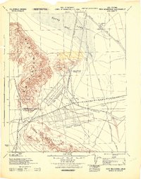
1943 · Iron Mountains
USGS Topo · 1:62,500
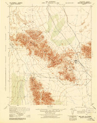
1945 · Midland
USGS Topo · 1:62,500
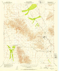
1952 · Midland
USGS Topo · 1:62,500
1952 · Palen Mountains
USGS Topo · 1:62,500

1954 · Salton Sea
USGS Topo · 1:250,000

1954 · Needles
USGS Topo · 1:250,000
1954 · Rice
USGS Topo · 1:62,500