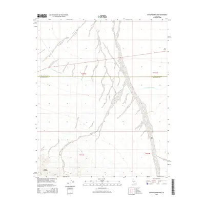
2015 Map of East of Granite Pass
USGS Topo · Published 2015About this map
The Colorado River Aqueduct carves a path through this desert landscape, crossing the boundary between San Bernardino and Riverside counties. This critical piece of California's water infrastructure navigates the broad expanse of Ward Valley, a stark contrast to the dramatic rise of the Granite Mountains in the southwestern corner. The terrain is characterized by the complex drainage patterns of ephemeral watercourses like Sand Draw, which stretch across the valley floor. This 2015 U.S. Geological Survey representation emphasizes the intersection of natural desert topography and the engineered systems required to transport water through these arid basins. The map illustrates the vast, unpopulated character of this region, where township lines like t1s r18e and t1s r19e provide the primary human-imposed structure over the shifting sands and mountain foothills.
Find a feature on this map
9 named features on this map. Tap any name to fly to it.
Don’t see what you’re looking for? This feature index may not catch every label — zoom into the map to look around manually.
Map Details
Editions of this 2015 East of Granite Pass Map
This is the sole edition of this map. No revisions or reprints were ever made.
Other maps of this area

1942 · Blythe
USGS Topo · 1:250,000

1942 · Amboy
USGS Topo · 1:250,000

1943 · Amboy
USGS Topo · 1:250,000
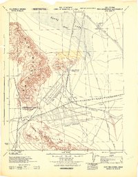
1943 · Iron Mountains
USGS Topo · 1:62,500
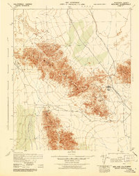
1945 · Midland
USGS Topo · 1:62,500
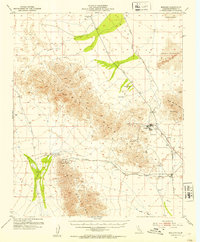
1952 · Midland
USGS Topo · 1:62,500
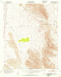
1952 · Palen Mountains
USGS Topo · 1:62,500

1954 · Salton Sea
USGS Topo · 1:250,000

1954 · Needles
USGS Topo · 1:250,000
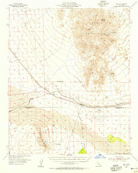
1954 · Rice
USGS Topo · 1:62,500