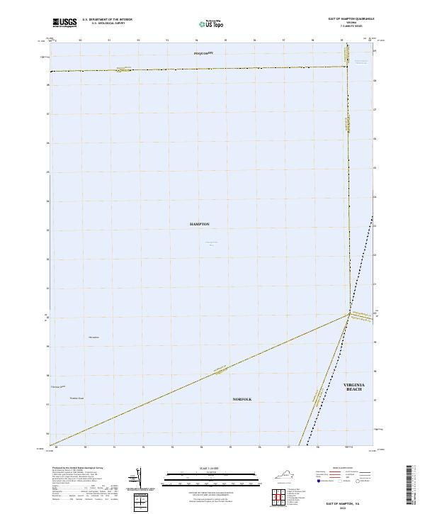
2022 Map of East of Hampton
USGS Topo · Published 2022About this map
The Chesapeake Bay dominates this coastal perspective east of the Virginia Peninsula, where several prominent municipal jurisdictions converge. The map documents a maritime crossroads centered on the Thimble Shoal and the northern reaches of the Intracoastal Waterway. The terrain is characterized by submerged features such as the Horseshoe, while the boundaries of Poquoson, Hampton, Norfolk, and Virginia Beach meet in the open water. This 2022 survey illustrates the administrative complexity of these coastal waters, serving as a record of the nautical divisions between the Lower Peninsula and the Tidewater region.
Find a feature on this map
14 named features on this map. Tap any name to fly to it.
Don’t see what you’re looking for? This feature index may not catch every label — zoom into the map to look around manually.
Map Details
Editions of this 2022 East of Hampton Map
This is the sole edition of this map. No revisions or reprints were ever made.
Other maps of this area

1907 · Norfolk
USGS Topo · 1:125,000

1907 · Hampton
USGS Topo · 1:62,500

1918 · Cape Henry
USGS Topo · 1:62,500

1919 · Cape Henry
USGS Topo · 1:62,500

1921 · Newport News
USGS Topo · 1:62,500

1943 · Elliots Creek
USGS Topo · 1:25,000

1943 · Richmond
USGS Topo · 1:250,000

1944 · Hampton
USGS Topo · 1:24,000

1944 · Messick
USGS Topo · 1:24,000

1948 · Ocean View
USGS Topo · 1:24,000