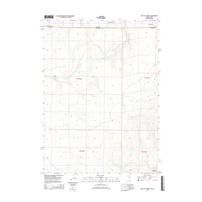
2014 Map of East of Jackpot
USGS Topo · Published 2014About this map
Idaho and Nevada meet along the high-desert borderlands of Twin Falls County and Elko County in this 2014 survey. The landscape is defined by the drainage patterns of the Shoshone Cr and its many tributaries, such as Mule Cr and Lost Cr, which carve through the high elevations. The southeastern corner is anchored by the rising slopes of the Toana John Mountains, a prominent landmark for those navigating the rugged intersection of the Great Basin.
Find a feature on this map
22 named features on this map. Tap any name to fly to it.
Don’t see what you’re looking for? This feature index may not catch every label — zoom into the map to look around manually.
Map Details
Editions of this 2014 East of Jackpot Map
This is the sole edition of this map. No revisions or reprints were ever made.
Other maps of this area

1955 · Twin Falls
USGS Topo · 1:250,000

1955 · Wells
USGS Topo · 1:250,000
1957 · Delaplain
USGS Topo · 1:62,500

1958 · Wells
USGS Topo · 1:250,000

1958 · Twin Falls
USGS Topo · 1:250,000

1961 · Wells
USGS Topo · 1:250,000
1961 · Gollaher Mountain
USGS Topo · 1:62,500
1977 · Big Creek Ranch
USGS Topo · 1:24,000
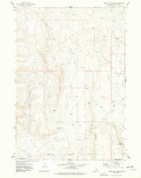
1977 · Magic Hot Springs
USGS Topo · 1:24,000
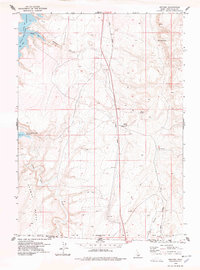
1978 · Meteor
USGS Topo · 1:24,000