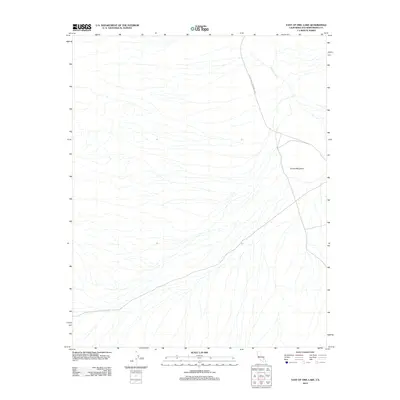
2012 Map of East of Owl Lake
USGS Topo · Published 2012About this map
The arid drainage patterns of the Mojave Desert define this portion of the California backcountry, where the ephemeral Amargosa River cuts through the landscape. This particular reach of the river enters the eastern boundaries of Death Valley National Park, a region characterized by sparse vegetation and significant elevation changes. The land is punctuated by prominent relief, most notably the high point of Round Mountain which overlooks a network of desert washes and seasonal watercourses. The 2012 survey documents a largely undeveloped wilderness within San Bernardino County, illustrating the transition from the open desert plains to the protected federal parklands. The map reveals the intricate topographic detail of alluvial fans and dry stream beds that remain dormant except during infrequent desert rain events.
Find a feature on this map
3 named features on this map. Tap any name to fly to it.
Don’t see what you’re looking for? This feature index may not catch every label — zoom into the map to look around manually.
Map Details
Editions of this 2012 East of Owl Lake Map
This is the sole edition of this map. No revisions or reprints were ever made.
Other maps of this area

1933 · Avawatz Mountains
USGS Topo · 1:250,000

1947 · Trona
USGS Topo · 1:250,000

1948 · Trona
USGS Topo · 1:250,000
1948 · Leach Lake
USGS Topo · 1:62,500
1948 · Avawatz Pass
USGS Topo · 1:62,500
1950 · Confidence Hills
USGS Topo · 1:62,500
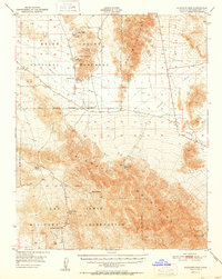
1951 · Avawatz Pass
USGS Topo · 1:62,500
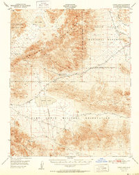
1951 · Leach Lake
USGS Topo · 1:62,500
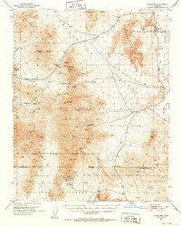
1951 · Shoshone
USGS Topo · 1:62,500

1953 · Trona
USGS Topo · 1:250,000