
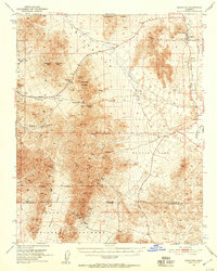
1951 Map of Shoshone
USGS Topo · Published 1952About this map
The Death Valley National Monument boundary cuts through this mid-century landscape of mining claims and desert washes. The settlement of Shoshone stands at the eastern edge near the Amargosa River, marked by its Cem and proximity to a Dismantled Railroad that once serviced the region's mineral wealth. The map is a testament to the prospecting era, densely dotted with workings like the American Mine, Paddys Pride Mine, and Ibex Mine tucked into the Ibex Hills.
Find a feature on this map
49 named features on this map. Tap any name to fly to it.
Don’t see what you’re looking for? This feature index may not catch every label — zoom into the map to look around manually.
Map Details
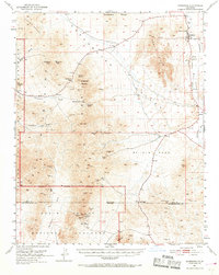
Editions of this 1951 Shoshone Map
3 editions found
Other maps of this area

1908 · Furnace Creek
USGS Topo · 1:250,000

1910 · Furnace Creek
USGS Topo · 1:250,000

1933 · Avawatz Mountains
USGS Topo · 1:250,000

1940 · Eagle Tank
USGS Topo · 1:62,500

1947 · Trona
USGS Topo · 1:250,000

1948 · Trona
USGS Topo · 1:250,000

1948 · Death Valley
USGS Topo · 1:250,000

1948 · Leach Lake
USGS Topo · 1:62,500

1948 · Avawatz Pass
USGS Topo · 1:62,500

1950 · Confidence Hills
USGS Topo · 1:62,500