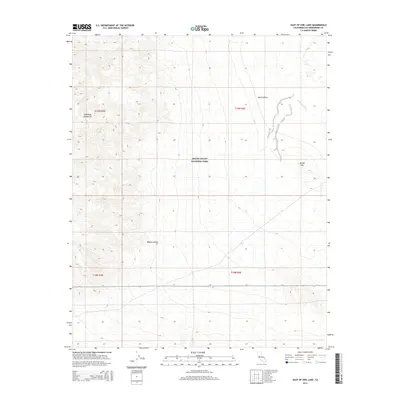
2015 Map of East of Owl Lake
USGS Topo · Published 2015About this map
Death Valley National Park encompasses the central portion of this 2015 survey, where the arid floor of Death Valley meets the high elevations of the Owlshead Mountains. The landscape is defined by its dramatic verticality, as the western slopes of the range drop sharply into the basin. To the northeast, the ephemeral course of the Amargosa River traces through the desert floor, reflecting the unique hydrological patterns of the northern Mojave Desert. This survey documents the intersection of several township and range boundaries, including t19n r3e and t19n r4e, providing a precise look at the land survey system in one of the most extreme environments in the United States. Further south, the isolated peak of Round Mtn stands as a distinct landmark against the surrounding terrain.
Find a feature on this map
10 named features on this map. Tap any name to fly to it.
Don’t see what you’re looking for? This feature index may not catch every label — zoom into the map to look around manually.
Map Details
Editions of this 2015 East of Owl Lake Map
This is the sole edition of this map. No revisions or reprints were ever made.
Other maps of this area

1933 · Avawatz Mountains
USGS Topo · 1:250,000

1947 · Trona
USGS Topo · 1:250,000

1948 · Trona
USGS Topo · 1:250,000
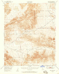
1948 · Leach Lake
USGS Topo · 1:62,500
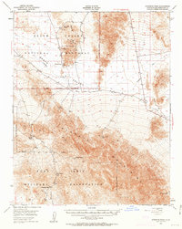
1948 · Avawatz Pass
USGS Topo · 1:62,500
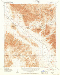
1950 · Confidence Hills
USGS Topo · 1:62,500
1951 · Avawatz Pass
USGS Topo · 1:62,500
1951 · Leach Lake
USGS Topo · 1:62,500
1951 · Shoshone
USGS Topo · 1:62,500

1953 · Trona
USGS Topo · 1:250,000