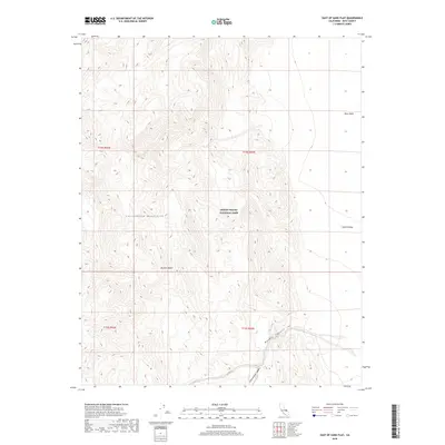
2018 Map of East of Sand Flat
USGS Topo · Published 2018About this map
Death Valley National Park encompasses the stark and varying topography of this Inyo County landscape. The Cottonwood Mountains dominate the western portion of the sheet, giving way to the vast expanses of the Mojave Desert and the low-lying basin of Death Valley to the east. The terrain is marked by significant drainage systems, notably Marble Canyon and Cottonwood Canyon, which reveal the erosional forces at work in this arid environment. Of particular interest to those studying the mineral history and natural geography of the region are the Niter Beds located in the northeast, indicating specific geological deposits characteristic of the basin's chemistry. This modern survey provides a clear view of the protected lands and natural boundaries established within one of the most extreme environments in North America.
Find a feature on this map
11 named features on this map. Tap any name to fly to it.
Don’t see what you’re looking for? This feature index may not catch every label — zoom into the map to look around manually.
Map Details
Editions of this 2018 East of Sand Flat Map
This is the sole edition of this map. No revisions or reprints were ever made.
Other maps of this area

1908 · Ballarat
USGS Topo · 1:250,000

1913 · Ballarat
USGS Topo · 1:250,000

1948 · Death Valley
USGS Topo · 1:250,000
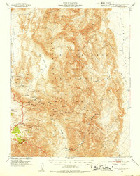
1951 · Marble Canyon
USGS Topo · 1:62,500
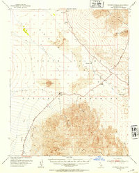
1952 · Stovepipe Wells
USGS Topo · 1:62,500

1954 · Death Valley
USGS Topo · 1:250,000

1956 · Death Valley
USGS Topo · 1:250,000
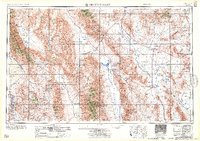
1957 · Death Valley
USGS Topo · 1:250,000
1957 · Grapevine Peak
USGS Topo · 1:62,500
1957 · Tin Mountain
USGS Topo · 1:62,500