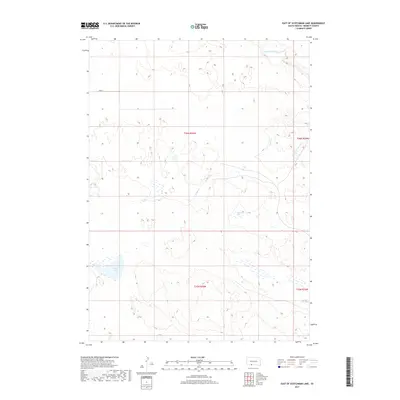
2017 Map of East of Scotchman Lake
USGS Topo · Published 2017About this map
Little White River meanders across the northern reaches of this Bennett County landscape, defining a terrain shaped by the Sandhills hydrology of southern South Dakota. The area is characterized by a series of isolated basins and watering holes, including the notable Muskrat Lake and Clear Lake in the southern and central sections. This 2017 survey reflects the sparse, open range land typical of the region, where infrastructure is limited to local routes such as 298 St. The drainage network, including Cedar Cr and the S Fork of Cedar Cr, illustrates the subtle elevation changes of the high plains. Near the southern border, North Cody Lake serves as a significant landmark in a territory defined more by its natural water features than by dense human settlement.
Find a feature on this map
11 named features on this map. Tap any name to fly to it.
Don’t see what you’re looking for? This feature index may not catch every label — zoom into the map to look around manually.
Map Details
Editions of this 2017 East of Scotchman Lake Map
This is the sole edition of this map. No revisions or reprints were ever made.
Other maps of this area
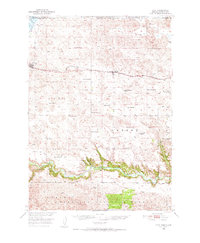
1950 · Cody
USGS Topo · 1:62,500
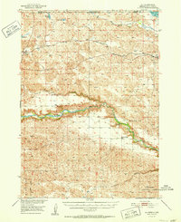
1952 · Eli
USGS Topo · 1:62,500

1955 · Martin
USGS Topo · 1:250,000

1957 · Valentine
USGS Topo · 1:250,000

1958 · Martin
USGS Topo · 1:250,000

1959 · Valentine
USGS Topo · 1:250,000
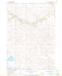
1969 · Spring Creek SW
USGS Topo · 1:24,000
1969 · Iron Shell Flat West
USGS Topo · 1:24,000
1981 · Scotchman Lake
USGS Topo · 1:25,000
1981 · Tuthill
USGS Topo · 1:25,000