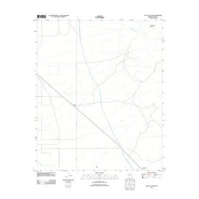
2011 Map of East of Utting
USGS Topo · Published 2011About this map
The Central Arizona Project Aqueduct cuts a striking diagonal through this arid landscape in La Paz County, illustrating the massive scale of water infrastructure in the American Southwest. This 2011 survey captures the small settlement of McVay and the Kast Ranch, which are linked by a grid of rural routes including McVay Rd and 68th St.
Find a feature on this map
12 named features on this map. Tap any name to fly to it.
Don’t see what you’re looking for? This feature index may not catch every label — zoom into the map to look around manually.
Map Details
Editions of this 2011 East of Utting Map
This is the sole edition of this map. No revisions or reprints were ever made.
Other maps of this area
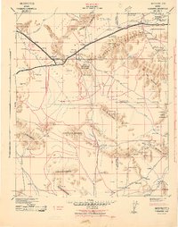
1942 · Vicksburg
USGS Topo · 1:250,000
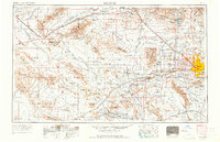
1954 · Phoenix
USGS Topo · 1:250,000
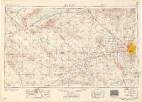
1957 · Phoenix
USGS Topo · 1:250,000
1958 · Phoenix
USGS Topo · 1:250,000
1960 · Phoenix
USGS Topo · 1:250,000
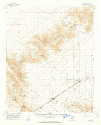
1961 · Salome
USGS Topo · 1:62,500
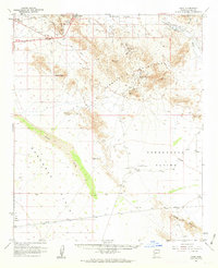
1961 · Hope
USGS Topo · 1:62,500
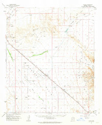
1962 · Utting
USGS Topo · 1:62,500
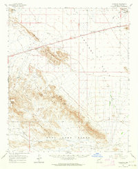
1962 · Vicksburg
USGS Topo · 1:62,500
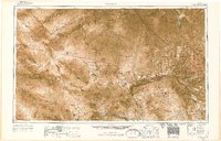
1969 · Phoenix
USGS Topo · 1:250,000