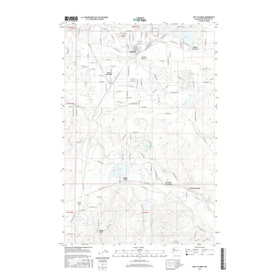
2017 Map of East Olympia
USGS Topo · Published 2017About this map
Lacey serves as a primary hub of residential and commercial activity in this south Puget Sound landscape, where the northern suburban layout meets the expansive open spaces of Chambers Prairie. The Deschutes River meanders through the central portion of the map, carving a path toward the south where the terrain becomes more varied and less developed. Significant water bodies such as Pattison Lake, Offutt Lake, and Sunwood Lake are prominent features, illustrating the post-glacial topography common to the region.
Find a feature on this map
67 named features on this map. Tap any name to fly to it.
Don’t see what you’re looking for? This feature index may not catch every label — zoom into the map to look around manually.
Map Details
Editions of this 2017 East Olympia Map
This is the sole edition of this map. No revisions or reprints were ever made.
Other maps of this area

1916 · Chehalis
USGS Topo · 1:125,000

1937 · Olympia
USGS Topo · 1:62,500

1940 · Tenino
USGS Topo · 1:62,500

1940 · Anderson Island
USGS Topo · 1:62,500

1944 · Tenino
USGS Topo · 1:62,500

1944 · Yelm
USGS Topo · 1:62,500

1948 · Anderson Island
USGS Topo · 1:62,500

1948 · Nisqually
USGS Topo · 1:24,000

1949 · Yelm
USGS Topo · 1:62,500

1949 · Tenino
USGS Topo · 1:62,500