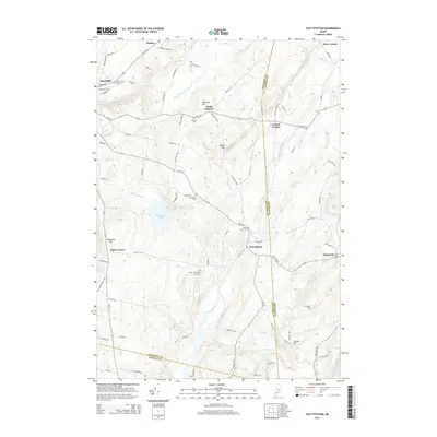
2014 Map of East Pittston
USGS Topo · Published 2014About this map
East Pittston and North Pittston serve as the primary nodes of settlement in this part of Kennebec County, where the landscape is defined by the winding course of the Eastern River and its various branches. The area is characterized by a high density of small family burial grounds and established cemeteries, such as the Herb F Thompson Burial Lot, the Goodspeed Cem, and the Putnam Cem, which offer significant value for genealogical research in this rural Maine landscape.
Find a feature on this map
89 named features on this map. Tap any name to fly to it.
Don’t see what you’re looking for? This feature index may not catch every label — zoom into the map to look around manually.
Map Details
Editions of this 2014 East Pittston Map
This is the sole edition of this map. No revisions or reprints were ever made.
Other maps of this area

1892 · Gardiner
USGS Topo · 1:62,500

1892 · Augusta
USGS Topo · 1:62,500

1893 · Vassalboro
USGS Topo · 1:62,500

1893 · Wiscasset
USGS Topo · 1:62,500

1898 · Vassalboro
USGS Topo · 1:62,500

1941 · Vassalboro
USGS Topo · 1:62,500

1941 · Augusta
USGS Topo · 1:62,500

1943 · Augusta
USGS Topo · 1:62,500

1943 · Gardiner
USGS Topo · 1:62,500

1943 · Vassalboro
USGS Topo · 1:62,500