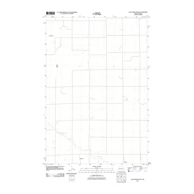
2011 Map of East Rainy Butte
USGS Topo · Published 2011About this map
De Sart anchors this landscape of the North Dakota badlands, positioned in the southern reaches of Slope County. The terrain is defined by prominent topographical rises, most notably East Rainy Butte and Baldy Butte, which stand as landmarks above the surrounding drainage basins. A network of seasonal and perennial waterways, including Coon Creek, Goose Creek, and Coal Bank Creek, meanders across the section lines, eventually feeding into the Chanta Peta Creek in the southwest. This 2011 survey reflects the enduring rural character of the region, where historical footprints like the Johnson Cemetery near 118th Ave SW remain preserved alongside the strict geometry of the section-line roads. The map illustrates a high-plains environment where water sources and elevation have historically dictated the placement of small settlements and family plots.
Find a feature on this map
10 named features on this map. Tap any name to fly to it.
Don’t see what you’re looking for? This feature index may not catch every label — zoom into the map to look around manually.
Map Details
Editions of this 2011 East Rainy Butte Map
This is the sole edition of this map. No revisions or reprints were ever made.
Other maps of this area

1953 · Dickinson
USGS Topo · 1:250,000

1957 · Dickinson
USGS Topo · 1:250,000

1961 · Daglum
USGS Topo · 1:62,500

1973 · Warnke Hill
USGS Topo · 1:24,000

1973 · Cedar Lake
USGS Topo · 1:24,000

1973 · Jung Lake
USGS Topo · 1:24,000

1973 · New England
USGS Topo · 1:24,000

1973 · West Rainy Butte
USGS Topo · 1:24,000

1973 · East Rainy Butte
USGS Topo · 1:24,000

1973 · Enterprise School
USGS Topo · 1:24,000