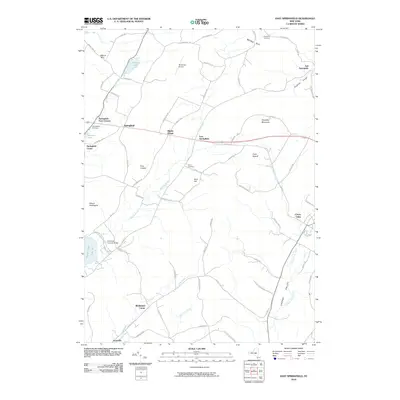
2010 Map of East Springfield
USGS Topo · Published 2010About this map
Otsego Lake and the northern shores of Hyde Bay anchor the southwestern corner of this survey, where Glimmerglass State Park preserves the lakeside landscape. This 2010 topography documents a series of small, historic crossroads and agricultural hamlets, including Springfield Four Corners, Middle Village, and Middlefield Center. The area's heritage is visible in landmarks like the Hyde Hall Covered Bridge and several family or community burial grounds such as Willse Hill Cemetery and Oliver Cemetery. The terrain is defined by prominent elevations including Mount Wellington and Shankley Mountain, separated by the courses of Shadow Brook and Cherry Valley Creek. A notable pocket of private aviation, the De Ronda Airport, sits nestled among the hills of the northern plateau near Summit Lake.
Find a feature on this map
80 named features on this map. Tap any name to fly to it.
Don’t see what you’re looking for? This feature index may not catch every label — zoom into the map to look around manually.
Map Details
Editions of this 2010 East Springfield Map
This is the sole edition of this map. No revisions or reprints were ever made.
Other maps of this area

1898 · Canajoharie
USGS Topo · 1:62,500

1900 · Canajoharie
USGS Topo · 1:62,500

1902 · Canajoharie
USGS Topo · 1:62,500

1903 · Richfield Springs
USGS Topo · 1:62,500

1904 · Richmondville
USGS Topo · 1:62,500

1907 · Cooperstown
USGS Topo · 1:62,500

1909 · Cooperstown
USGS Topo · 1:62,500

1943 · Jordanville
USGS Topo · 1:24,000

1943 · South Valley
USGS Topo · 1:24,000

1943 · Richfield Springs
USGS Topo · 1:24,000