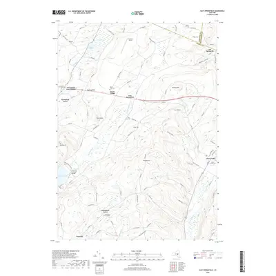
2019 Map of East Springfield
USGS Topo · Published 2019About this map
Otsego Lake and the northern reaches of Glimmerglass State Park anchor the southwestern corner of this survey, where the historic Hyde Hall Covered Bridge stands near the water's edge. The landscape is a complex arrangement of high ridges and narrow valleys, defined by prominent elevations such as Prospect Hill and Shankley Mtn. The settlement pattern follows these contours, with hamlets like East Springfield and Springfield Four Corners established at key road junctions.
Find a feature on this map
98 named features on this map. Tap any name to fly to it.
Don’t see what you’re looking for? This feature index may not catch every label — zoom into the map to look around manually.
Map Details
Editions of this 2019 East Springfield Map
This is the sole edition of this map. No revisions or reprints were ever made.
Other maps of this area
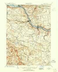
1898 · Canajoharie
USGS Topo · 1:62,500
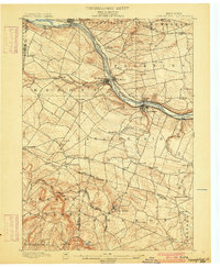
1900 · Canajoharie
USGS Topo · 1:62,500
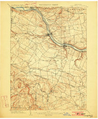
1902 · Canajoharie
USGS Topo · 1:62,500
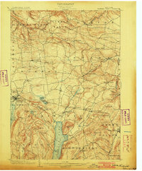
1903 · Richfield Springs
USGS Topo · 1:62,500
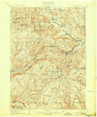
1904 · Richmondville
USGS Topo · 1:62,500
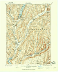
1907 · Cooperstown
USGS Topo · 1:62,500
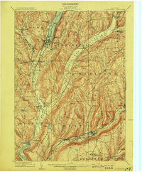
1909 · Cooperstown
USGS Topo · 1:62,500
1943 · Jordanville
USGS Topo · 1:24,000
1943 · South Valley
USGS Topo · 1:24,000
1943 · Richfield Springs
USGS Topo · 1:24,000