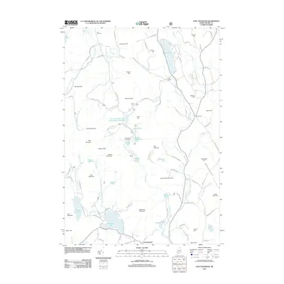
2012 Map of East Stoneham
USGS Topo · Published 2012About this map
East Stoneham serves as a small anchor in this landscape of the Maine hills, where the drainage of the Crooked River and various branches of the Pleasant River carve through high ground. The map reveals a community defined by its topography and water resources, featuring a mix of natural ponds and engineered water management such as the Patte Brook Waterfowl Impoundment Reservoir. Long-established local landmarks like the Town House and Bennett School appear alongside family-named peaks including Grover Hill and Cummings Hill. For genealogists and local historians, the placement of the Flat Cemetery and Songo Cemetery provides essential geographic context for early residents. The terrain is marked by significant elevations like Rattlesnake Mountain and Square Dock Mountain, while lower-lying areas are dotted with numerous small water bodies, from Sunken Pond to Lombard Pond, illustrating the complex hydrology of Oxford County.
Find a feature on this map
108 named features on this map. Tap any name to fly to it.
Don’t see what you’re looking for? This feature index may not catch every label — zoom into the map to look around manually.
Map Details
Editions of this 2012 East Stoneham Map
This is the sole edition of this map. No revisions or reprints were ever made.
Other maps of this area

1896 · Norway
USGS Topo · 1:62,500

1909 · Fryeburg
USGS Topo · 1:62,500

1911 · Fryeburg
USGS Topo · 1:62,500

1911 · Bryant Pond
USGS Topo · 1:62,500

1914 · Bethel
USGS Topo · 1:62,500

1914 · Bryant Pond
USGS Topo · 1:62,500

1940 · Bethel
USGS Topo · 1:62,500

1941 · Bethel
USGS Topo · 1:62,500

1941 · Fryeburg
USGS Topo · 1:62,500

1942 · Bryant Pond
USGS Topo · 1:62,500