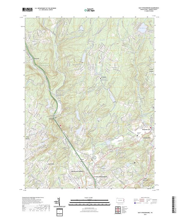
2023 Map of East Stroudsburg
USGS Topo · Published 2023About this map
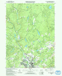
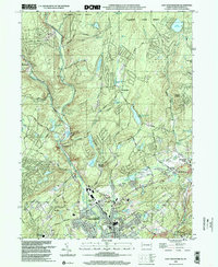
The confluence of Brodhead Creek, Sambo Creek, and Michael Creek shapes the valley landscape of this Monroe County corridor. Modern residential developments like Penn Estates and Pocono Heights stand alongside established settlements such as East Stroudsburg and Arlington Heights. This contemporary topographic study reveals the dense network of cemeteries associated with local congregations, including the Wooddale United Methodist Church Cem and the Beakleyville Baptist Church Cem.
Find a feature on this map
57 named features on this map. Tap any name to fly to it.
Don’t see what you’re looking for? This feature index may not catch every label — zoom into the map to look around manually.
Map Details
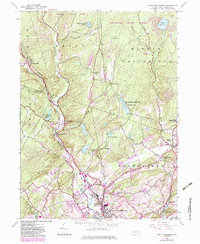
Editions of this 2023 East Stroudsburg Map
This is the sole edition of this map. No revisions or reprints were ever made.
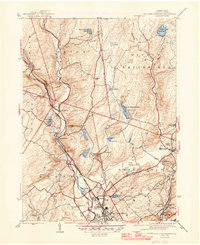
Historical Maps of Paradise Township Through Time
6 maps found
Featured Locations
- Price Township, PA
- Henryville, Paradise Township
- Analomink, Stroud Township
- Marshalls Creek, Smithfield Township
- Twin Falls, Smithfield Township