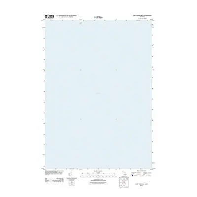
2011 Map of East Tawas OE S
USGS Topo · Published 2011About this map
Lake Huron dominates this maritime survey, providing a focused look at the waters off the coast of Baldwin Township during the early twenty-first century. The map centers on the open expanse of the Great Lake, illustrating the bathymetric orientation just south of the Tawas Bay area. Along the northern margin, the hook of Tawas Point emerges, a critical navigational landmark that defines the local shoreline and shelters the inner waters from the main lake. This specific edition, produced by the U.S. Geological Survey, serves as a precise record of the shoreline position and water boundaries at this moment in Michigan's modern coastal history.
Find a feature on this map
2 named features on this map. Tap any name to fly to it.
Don’t see what you’re looking for? This feature index may not catch every label — zoom into the map to look around manually.
Map Details
Editions of this 2011 East Tawas OE S Map
This is the sole edition of this map. No revisions or reprints were ever made.
Other maps of this area

1954 · Tawas City
USGS Topo · 1:250,000

1958 · Tawas City
USGS Topo · 1:250,000

1959 · Tawas City
USGS Topo · 1:62,500

1959 · East Tawas
USGS Topo · 1:62,500

1966 · Point Lookout
USGS Topo · 1:24,000

1966 · Alabaster
USGS Topo · 1:24,000
1970 · Charity Island
USGS Topo · 1:24,000

1984 · Tawas City
USGS Topo · 1:100,000
1989 · East Tawas
USGS Topo · 1:24,000
1989 · Tawas City
USGS Topo · 1:24,000