1966 Map of Easter
USGS Topo · Published 1968About this map
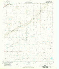
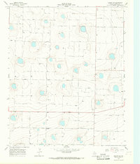
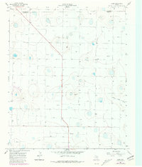
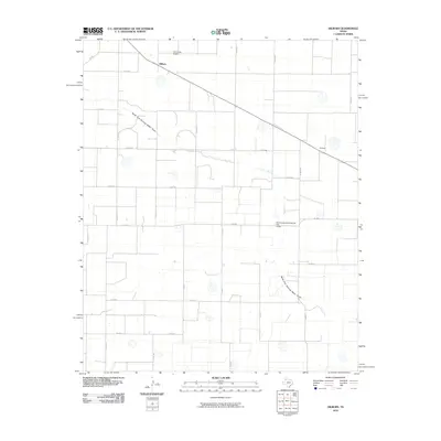
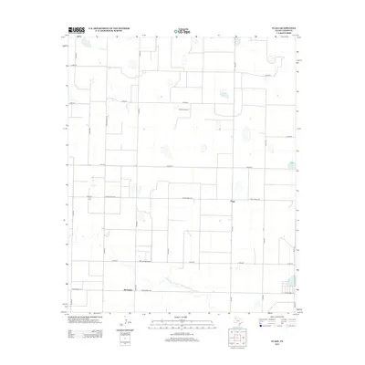
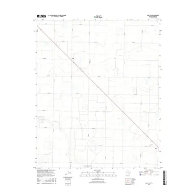
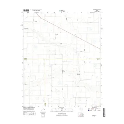
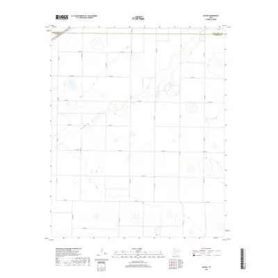
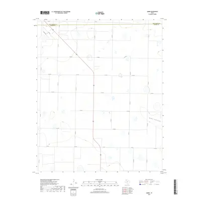
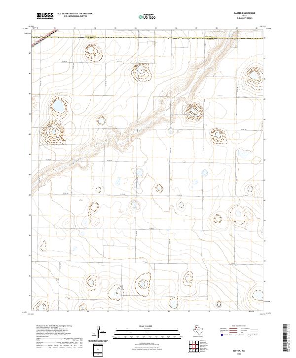
The High Plains of the Texas Panhandle are defined here by the diagonal cut of Frio Draw as it meanders across the border of Deaf Smith Co and Castro Co. In the mid-1960s, this landscape was characterized by a sparse network of ranch roads and a reliance on subterranean water, evidenced by the numerous wells scattered across the quadrangle. The small settlement of Easter sits in the southeast, featuring a Po and serving as a local hub for the surrounding agricultural community. To the northwest, the industrial infrastructure of the era is represented by a Radio Tower and the heavy rail line of the Atchison Topeka and Santa Fe, which slices through the corner of the map. Between the rail line and the tiny station at Frio, a large-scale Pipeline cuts a straight path across the drainage, illustrating the transition between traditional ranching and modern energy transport.
Find a feature on this map
9 named features on this map. Tap any name to fly to it.
Don’t see what you’re looking for? This feature index may not catch every label — zoom into the map to look around manually.
Map Details
Editions of this 1966 Easter Map
This is the sole edition of this map. No revisions or reprints were ever made.
Historical Maps of Easter Through Time
60 maps found
1962 Dodd NE
Castro County, TX
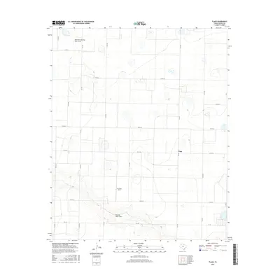
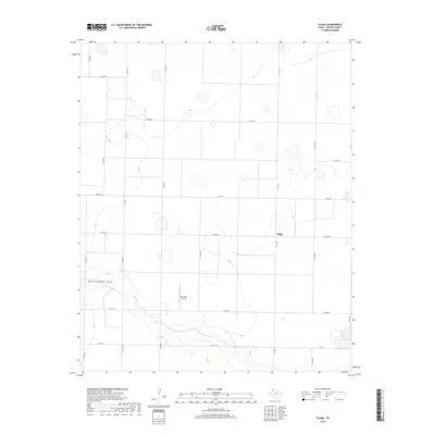
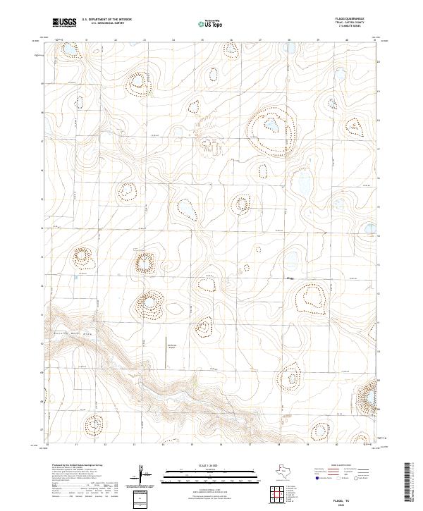
1963 Flagg
Castro County, TX
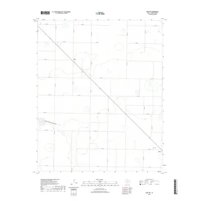
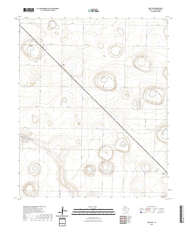
1963 Hart NW
Castro County, TX
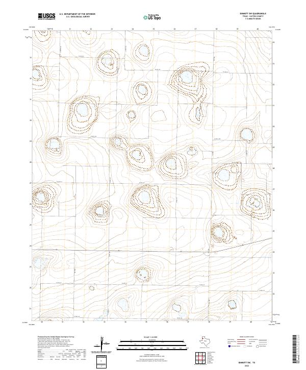
1965 Dimmitt SW
Castro County, TX
1965 Hilburn
Castro County, TX
1965 Nazareth SW
Castro County, TX
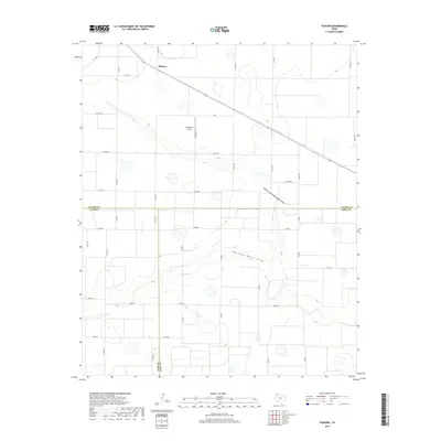
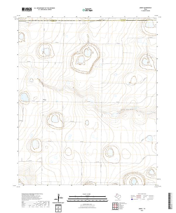
1966 Arney
Castro County, TX
1966 Easter
Castro County, TX
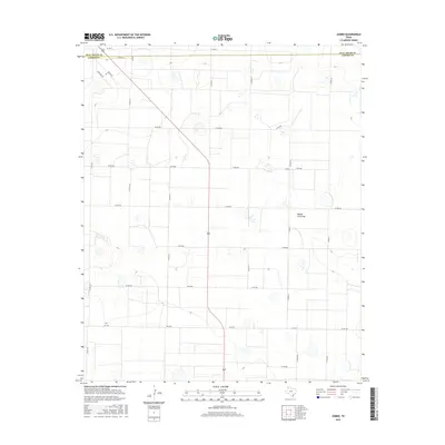
1966 Jumbo
Castro County, TX
1966 Nazareth NW
Castro County, TX
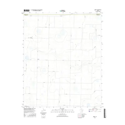
2010 Arney
Castro County, TX
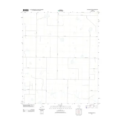
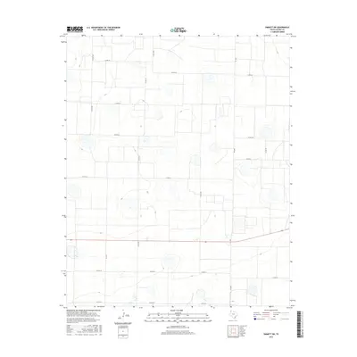
2010 Dimmitt SW
Castro County, TX
2010 Dodd NE
Castro County, TX
2010 Easter
Castro County, TX
2010 Flagg
Castro County, TX
2010 Hart NW
Castro County, TX
2010 Hilburn
Castro County, TX
2010 Jumbo
Castro County, TX
2010 Nazareth NW
Castro County, TX
2010 Nazareth SW
Castro County, TX
2012 Arney
Castro County, TX
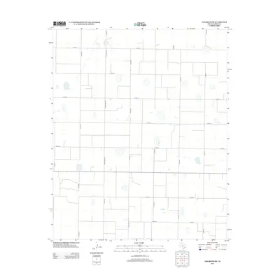
2012 Dimmitt SW
Castro County, TX
2012 Dodd NE
Castro County, TX
2012 Easter
Castro County, TX
2012 Flagg
Castro County, TX
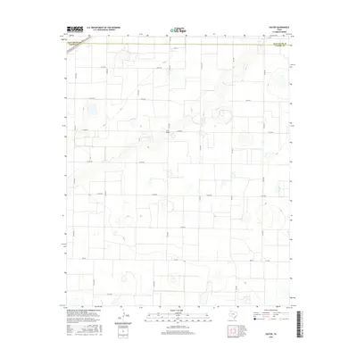
2012 Hart NW
Castro County, TX
2012 Hilburn
Castro County, TX
2012 Jumbo
Castro County, TX
2012 Nazareth NW
Castro County, TX
2012 Nazareth SW
Castro County, TX
2016 Arney
Castro County, TX
2016 Dimmitt SW
Castro County, TX
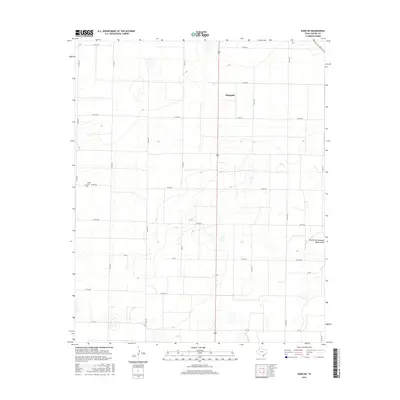
2016 Dodd NE
Castro County, TX
2016 Easter
Castro County, TX
2016 Flagg
Castro County, TX
2016 Hart NW
Castro County, TX
2016 Hilburn
Castro County, TX
2016 Jumbo
Castro County, TX
2016 Nazareth NW
Castro County, TX
2016 Nazareth SW
Castro County, TX
2019 Arney
Castro County, TX
2019 Dimmitt SW
Castro County, TX
2019 Dodd NE
Castro County, TX
2019 Easter
Castro County, TX
2019 Flagg
Castro County, TX
2019 Hart NW
Castro County, TX
2019 Hilburn
Castro County, TX
2019 Jumbo
Castro County, TX
2019 Nazareth NW
Castro County, TX
2019 Nazareth SW
Castro County, TX
2022 Arney
Castro County, TX
2022 Dimmitt SW
Castro County, TX
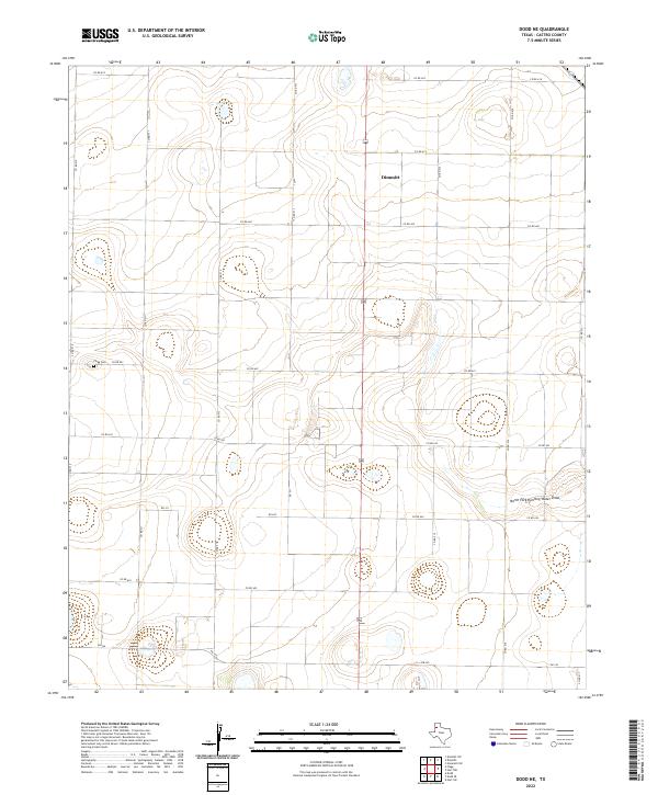
2022 Dodd NE
Castro County, TX
2022 Easter
Castro County, TX
2022 Flagg
Castro County, TX
2022 Hart NW
Castro County, TX
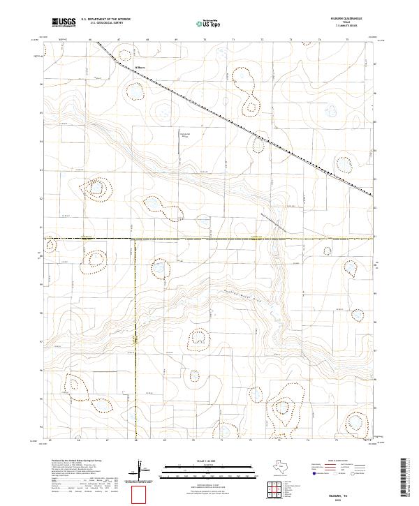
2022 Hilburn
Castro County, TX
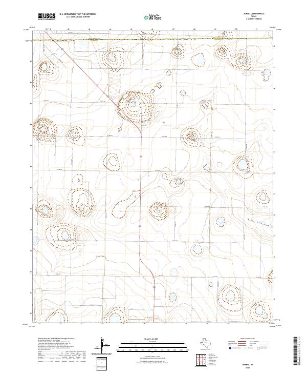
2022 Jumbo
Castro County, TX
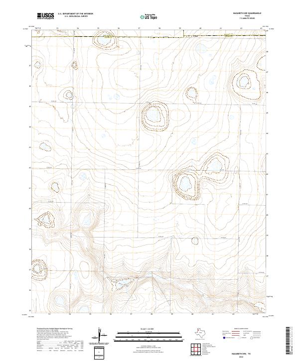
2022 Nazareth NW
Castro County, TX
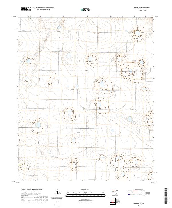
2022 Nazareth SW
Castro County, TX