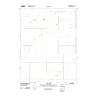
2010 Map of Easterly Airport
USGS Topo · Published 2010About this map
Mount Vernon stands as the primary community anchor in this High Plains landscape, situated along the grid of Cheyenne County's section-line roads. The area is defined by the ephemeral drainage patterns of Sand Draw and Sidney Draw, which carve subtle topography across the agricultural plateaus. Social life in this rural precinct centers on the Mount Vernon Community Center, while the Easterly Airport provides a modern aeronautical link to the region. The map also records localized water sources such as Chambers Spring, a critical feature for early settlement and ranching in this semi-arid environment. The layout of the road system, from Road 2 through Road 18, illustrates the systematic division of land that has governed the region's development into the 21st century.
Find a feature on this map
22 named features on this map. Tap any name to fly to it.
Don’t see what you’re looking for? This feature index may not catch every label — zoom into the map to look around manually.
Map Details
Editions of this 2010 Easterly Airport Map
This is the sole edition of this map. No revisions or reprints were ever made.
Other maps of this area

1951 · Padroni NW
USGS Topo · 1:24,000

1953 · Peetz
USGS Topo · 1:24,000

1954 · Sterling
USGS Topo · 1:250,000

1954 · Scottsbluff
USGS Topo · 1:250,000

1958 · Scottsbluff
USGS Topo · 1:250,000

1958 · Sterling
USGS Topo · 1:250,000

1972 · Easterly Airport
USGS Topo · 1:24,000

1972 · Lorenzo
USGS Topo · 1:24,000

1972 · Point Of Rocks
USGS Topo · 1:24,000

1972 · Brownson
USGS Topo · 1:24,000