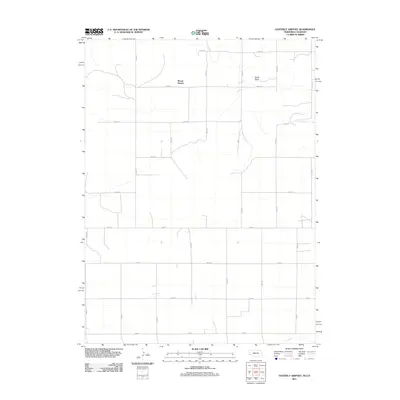
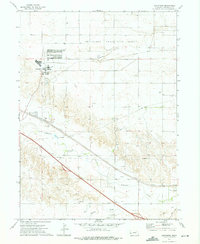
2011 Map of Easterly Airport
USGS Topo · Published 2011About this map
Mount Vernon sits as the central point of reference in this Cheyenne County landscape, where the High Plains terrain is etched by intermittent watercourses and a rigid grid of agricultural section roads. The hydrology of the region is defined by features like Sand Draw and Glimbers Spring, indicating the vital role of localized water sources in an otherwise arid environment. Further south, Cow Creek meanders through the lower portion of the survey area, cutting across the geometric precision of the township-and-range road system. This grid, composed of routes like Road 16 and Road 91, facilitates the vast ranching and farming operations typical of the Nebraska-Colorado borderlands. The spatial distribution of these roads and water features reflects a settlement pattern dictated by the demands of large-scale agriculture and the necessity of managing scarce natural resources.
Find a feature on this map
20 named features on this map. Tap any name to fly to it.
Don’t see what you’re looking for? This feature index may not catch every label — zoom into the map to look around manually.
Map Details
Editions of this 2011 Easterly Airport Map
This is the sole edition of this map. No revisions or reprints were ever made.
Other maps of this area
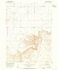
1951 · Padroni NW
USGS Topo · 1:24,000
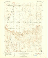
1953 · Peetz
USGS Topo · 1:24,000

1954 · Sterling
USGS Topo · 1:250,000
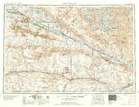
1954 · Scottsbluff
USGS Topo · 1:250,000
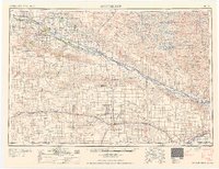
1958 · Scottsbluff
USGS Topo · 1:250,000

1958 · Sterling
USGS Topo · 1:250,000
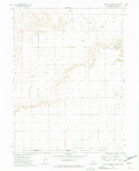
1972 · Easterly Airport
USGS Topo · 1:24,000
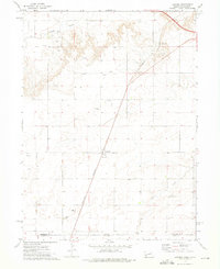
1972 · Lorenzo
USGS Topo · 1:24,000
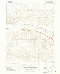
1972 · Point Of Rocks
USGS Topo · 1:24,000
1972 · Brownson
USGS Topo · 1:24,000