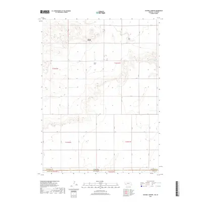
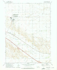
2017 Map of Easterly Airport
USGS Topo · Published 2017About this map
The high plains of the Nebraska-Colorado border define this landscape where the high ground of Mount Vernon overlooks a network of seasonal drainages. This high-altitude prairie environment is characterized by large-scale agricultural divisions and a grid of rural routes ranging from RD 18 in the north to RD 2 at the state line. Hydrological features like Sidney Draw and Sand Draw illustrate the natural drainage patterns of the region, while the presence of Chambers Spring indicates rare localized water sources in this arid terrain. The map documents the precise intersection of Cheyenne County, Nebraska, and Logan County, Colorado, tracing the geopolitical boundary through a landscape of section lines and intermittent creek beds like Cow Cr. This survey provides a clear view of the land use and survey grid at the edge of the Nebraska Panhandle during the late 2010s.
Find a feature on this map
23 named features on this map. Tap any name to fly to it.
Don’t see what you’re looking for? This feature index may not catch every label — zoom into the map to look around manually.
Map Details
Editions of this 2017 Easterly Airport Map
This is the sole edition of this map. No revisions or reprints were ever made.
Other maps of this area
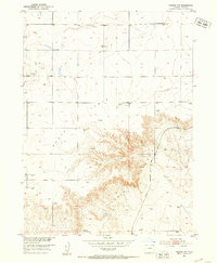
1951 · Padroni NW
USGS Topo · 1:24,000
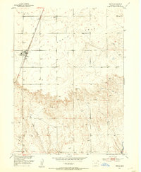
1953 · Peetz
USGS Topo · 1:24,000

1954 · Sterling
USGS Topo · 1:250,000
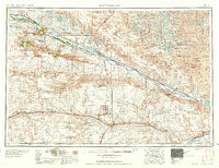
1954 · Scottsbluff
USGS Topo · 1:250,000
1958 · Scottsbluff
USGS Topo · 1:250,000

1958 · Sterling
USGS Topo · 1:250,000
1972 · Easterly Airport
USGS Topo · 1:24,000
1972 · Lorenzo
USGS Topo · 1:24,000
1972 · Point Of Rocks
USGS Topo · 1:24,000
1972 · Brownson
USGS Topo · 1:24,000