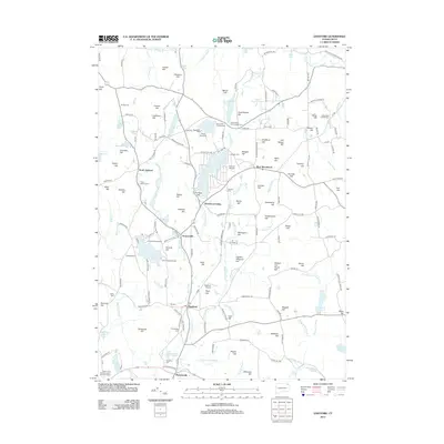
2012 Map of Eastford
USGS Topo · Published 2012About this map
Eastford and its surrounding hill country are defined by a network of rural roads and historical burial sites in this early 21st-century study. The landscape is dotted with family and community legacy markers, from the Woodstock Central Cem to the Trowbridge Cem near Phoenixville. The terrain is shaped by numerous summits including Deacon Tim Perrin Hill and Chestnut Hill, with the Still River carving a path through the central valley. Industrial and recreational history intersect at Furnace Hill and the various lakeside camps like Camp Keemosahbee and Camp Woodstock. Local transportation is anchored by small aviation hubs such as Toutant Airport and Eastford Airport, while the village of Woodstock Valley serves as a junction for the area's winding regional routes.
Find a feature on this map
184 named features on this map. Tap any name to fly to it.
Don’t see what you’re looking for? This feature index may not catch every label — zoom into the map to look around manually.
Map Details
Editions of this 2012 Eastford Map
This is the sole edition of this map. No revisions or reprints were ever made.
Other maps of this area

1887 · Brookfield
USGS Topo · 1:62,500

1889 · Webster
USGS Topo · 1:62,500

1889 · Putnam
USGS Topo · 1:62,500

1890 · Brookfield
USGS Topo · 1:62,500

1892 · Woodstock
USGS Topo · 1:62,500

1892 · Webster
USGS Topo · 1:62,500

1893 · Putnam
USGS Topo · 1:62,500

1893 · Brookfield
USGS Topo · 1:62,500

1908 · Quinsigamond
USGS Topo · 1:125,000

1908 · Ware
USGS Topo · 1:125,000