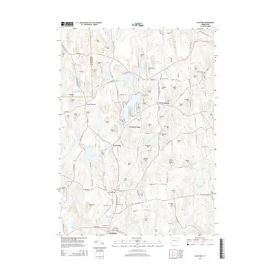
2015 Map of Eastford
USGS Topo · Published 2015About this map
Eastford and West Woodstock center this survey of Windham County, where the terrain is defined by a dense network of named peaks and water bodies. The Still River and Bungee Brook drain a landscape of significant high points, including Chestnut Hill, Ragged Hill, and the curiously named Deacon Tim Perrin Hill. This era shows a community deeply connected to its past through numerous burial grounds such as the North Ashford Cem and Woodstock Central Cem, which are often found near early road junctions like the Boston Tpke and Old Colony Rd.
Find a feature on this map
185 named features on this map. Tap any name to fly to it.
Don’t see what you’re looking for? This feature index may not catch every label — zoom into the map to look around manually.
Map Details
Editions of this 2015 Eastford Map
This is the sole edition of this map. No revisions or reprints were ever made.
Other maps of this area

1887 · Brookfield
USGS Topo · 1:62,500

1889 · Webster
USGS Topo · 1:62,500

1889 · Putnam
USGS Topo · 1:62,500

1890 · Brookfield
USGS Topo · 1:62,500

1892 · Woodstock
USGS Topo · 1:62,500

1892 · Webster
USGS Topo · 1:62,500

1893 · Putnam
USGS Topo · 1:62,500

1893 · Brookfield
USGS Topo · 1:62,500

1908 · Quinsigamond
USGS Topo · 1:125,000

1908 · Ware
USGS Topo · 1:125,000