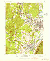
1948 Map of Easthampton
USGS Topo · Published 1948About this map
The industrial and academic landscape of Northampton and Easthampton is anchored by the winding Manhan River and the sweeping curve of the Oxbow. This post-war revision reveals a dense network of institutional landmarks, including Smith College and the sprawling U S Veterans Hospital north of Florence. To the south, the village of Easthampton sits at the foot of Mt Tom, where the Mt Tom State Reservation preserves the dramatic ridge line leading to Whiting Peak and Goat Peak Tower.
Find a feature on this map
102 named features on this map. Tap any name to fly to it.
Don’t see what you’re looking for? This feature index may not catch every label — zoom into the map to look around manually.
Map Details
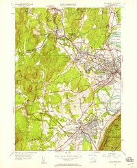
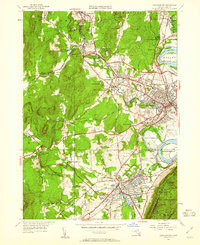
Editions of this 1948 Easthampton Map
3 editions found
Other maps of this area

1885 · Northampton
USGS Topo · 1:62,500

1886 · Springfield
USGS Topo · 1:62,500

1886 · Chesterfield
USGS Topo · 1:62,500

1886 · Northampton
USGS Topo · 1:62,500

1887 · Granville
USGS Topo · 1:62,500

1888 · Chesterfield
USGS Topo · 1:62,500

1889 · Springfield
USGS Topo · 1:62,500

1889 · Granville
USGS Topo · 1:62,500

1891 · Northampton
USGS Topo · 1:62,500

1893 · Northampton
USGS Topo · 1:62,500