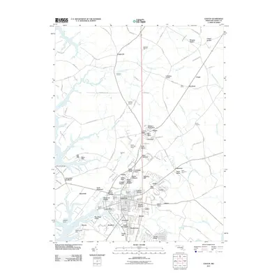
2011 Map of Easton
USGS Topo · Published 2011About this map
The Tred Avon River and Miles River frame this detailed 2011 study of the Talbot County landscape, where modern aviation at the Easton Municipal Airport meets deep-rooted colonial history. The town of Easton serves as a central hub, surrounded by a dense network of residential developments and historic landholdings such as Morgans Neglect and Carters Plains. Notable for genealogists, the map identifies several significant interment sites, including the Third Haven Meeting Burial Ground and All Saints Cemetery, alongside established neighborhoods like Ashby Park and Colonial Heights.
Find a feature on this map
164 named features on this map. Tap any name to fly to it.
Don’t see what you’re looking for? This feature index may not catch every label — zoom into the map to look around manually.
Map Details
Editions of this 2011 Easton Map
This is the sole edition of this map. No revisions or reprints were ever made.
Other maps of this area

1898 · Choptank
USGS Topo · 1:125,000

1904 · St. Michaels
USGS Topo · 1:62,500

1904 · Oxford
USGS Topo · 1:62,500

1905 · Denton
USGS Topo · 1:62,500

1905 · Hurlock
USGS Topo · 1:62,500

1908 · Choptank
USGS Topo · 1:125,000

1942 · Oxford
USGS Topo · 1:31,680
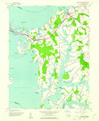
1942 · Queenstown
USGS Topo · 1:24,000
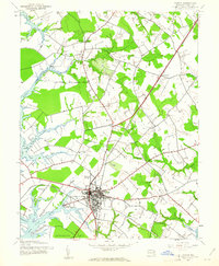
1942 · Easton
USGS Topo · 1:24,000
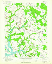
1942 · Wye Mills
USGS Topo · 1:24,000