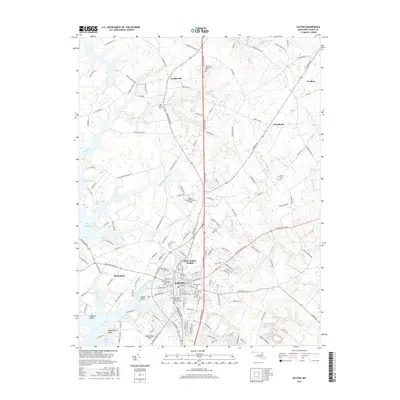
2016 Map of Easton
USGS Topo · Published 2016About this map
Easton serves as the focal point of this Eastern Shore landscape, situated where the Tred Avon River and its numerous tidal branches like Dixon Creek and North Fork Tanyard Branch reach inland. The town's historical depth is visible in its concentration of cemeteries and burial grounds, including the Third Haven Meeting Burial Ground and Spring Hill Cem. Beyond the developed core of Saint Aubins Heights and Easton Point, the map reveals a countryside defined by colonial-rooted settlements such as Longwoods and Cordova. The maritime character of the region is evident in the jagged shoreline of Edmundson Neck and the many protected waters like Jacks Cove and Gully Cove. Modern infrastructure, notably the Easton Airport/Newnam Field, intersects with older land patterns marked by legacy sites like Woodlawn Memorial Park and Goldsborough Spring.
Find a feature on this map
158 named features on this map. Tap any name to fly to it.
Don’t see what you’re looking for? This feature index may not catch every label — zoom into the map to look around manually.
Map Details
Editions of this 2016 Easton Map
This is the sole edition of this map. No revisions or reprints were ever made.
Other maps of this area

1898 · Choptank
USGS Topo · 1:125,000

1904 · St. Michaels
USGS Topo · 1:62,500

1904 · Oxford
USGS Topo · 1:62,500

1905 · Denton
USGS Topo · 1:62,500

1905 · Hurlock
USGS Topo · 1:62,500

1908 · Choptank
USGS Topo · 1:125,000

1942 · Oxford
USGS Topo · 1:31,680
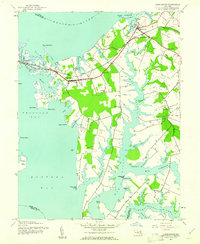
1942 · Queenstown
USGS Topo · 1:24,000
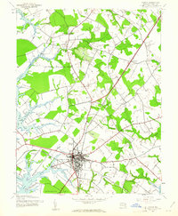
1942 · Easton
USGS Topo · 1:24,000
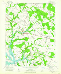
1942 · Wye Mills
USGS Topo · 1:24,000