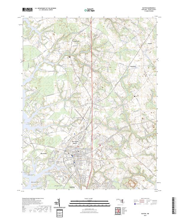
2023 Map of Easton
USGS Topo · Published 2023About this map
Easton serves as the focal point of this Eastern Shore landscape, situated where the Tred Avon River and Miles River systems reach into the heart of Talbot County. The town's historical foundations are visible through sites like the Talbot County Courthouse and the Third Haven Meeting Burial Ground, while the waterfront at Easton Point reflects the maritime connection that long defined the region's economy. The topography is dominated by tidal creeks and necks of land such as Edmundson Neck and The Anchorage, illustrating how the Chesapeake's winding tributaries dictate the local road network.
Find a feature on this map
163 named features on this map. Tap any name to fly to it.
Don’t see what you’re looking for? This feature index may not catch every label — zoom into the map to look around manually.
Map Details
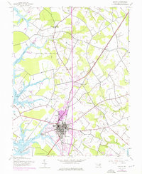
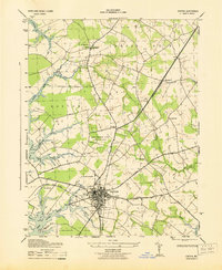
Editions of this 2023 Easton Map
This is the sole edition of this map. No revisions or reprints were ever made.