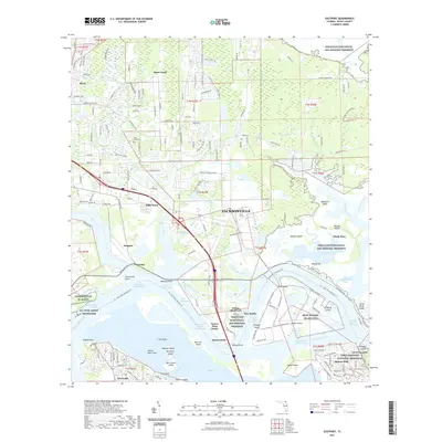
2021 Map of Eastport
USGS Topo · Published 2021About this map
Fort Caroline National Memorial and the Yellow Bluff Fort anchor the historical landscape where the Saint Johns River meets a complex network of marshes and tidal creeks. This coastal region, protected largely by the Timucuan Ecological and Historic Preserve, shows a striking mix of preservation and heavy industrial activity. The southern half of the map is dominated by the maritime operations at MCSF Blount Island (FL) and the FLC Fuel Depot Heckscher, reflecting the area's vital role in national logistics and shipping.
Find a feature on this map
182 named features on this map. Tap any name to fly to it.
Don’t see what you’re looking for? This feature index may not catch every label — zoom into the map to look around manually.
Map Details
Editions of this 2021 Eastport Map
This is the sole edition of this map. No revisions or reprints were ever made.
Other maps of this area
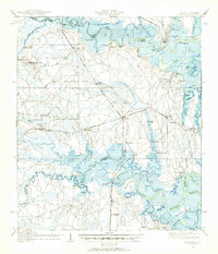
1918 · St Marys
USGS Topo · 1:62,500

1918 · Jacksonville
USGS Topo · 1:62,500
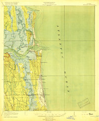
1918 · Mayport
USGS Topo · 1:62,500
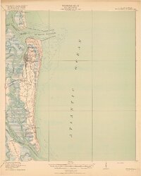
1919 · Fernandina
USGS Topo · 1:62,500
1919 · St Marys
USGS Topo · 1:62,500
1944 · Fernandina
USGS Topo · 1:62,500

1948 · Jacksonville
USGS Topo · 1:250,000
1948 · Jacksonville Beach
USGS Topo · 1:24,000
1948 · Eastport
USGS Topo · 1:24,000
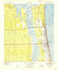
1949 · Jacksonville Beach
USGS Topo · 1:24,000
Featured Places
- Jacksonville, FL
- Dames Point Manor, Jacksonville
- Beacon Hills, Jacksonville
- Fort Caroline, Jacksonville
- New Berlin, Jacksonville