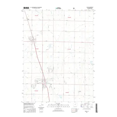
2016 Map of Eaton
USGS Topo · Published 2016About this map
Agricultural irrigation networks define the landscape between Ault and Eaton in this modern topographic study of Weld County. A complex system of waterways, including the Collins Lateral, Good Lateral, and Mead Lateral, highlights the intensive water management required for farming in this high plains region. These man-made channels work alongside natural features like Spring Cr and Lone Tree Cr to feed numerous storage basins such as Packard Reservoir and Clark Lake.
Find a feature on this map
54 named features on this map. Tap any name to fly to it.
Don’t see what you’re looking for? This feature index may not catch every label — zoom into the map to look around manually.
Map Details
Editions of this 2016 Eaton Map
This is the sole edition of this map. No revisions or reprints were ever made.
Other maps of this area
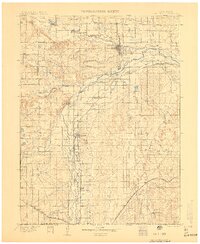
1902 · Greeley
USGS Topo · 1:125,000
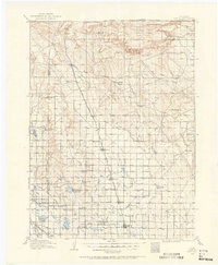
1908 · Eaton
USGS Topo · 1:125,000
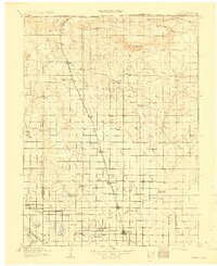
1910 · Eaton
USGS Topo · 1:125,000
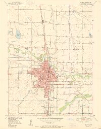
1950 · Greeley
USGS Topo · 1:24,000
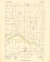
1950 · Kersey
USGS Topo · 1:24,000
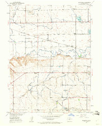
1950 · Bracewell
USGS Topo · 1:24,000
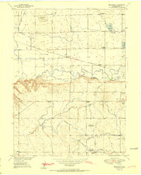
1951 · Bracewell
USGS Topo · 1:24,000
1954 · Greeley
USGS Topo · 1:250,000
1957 · Greeley
USGS Topo · 1:250,000
1958 · Greeley
USGS Topo · 1:250,000