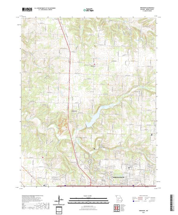
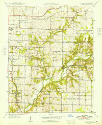
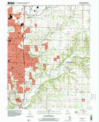
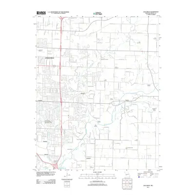
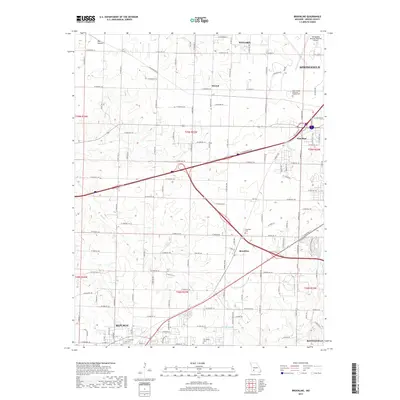
2021 Map of Ebenezer
USGS Topo · Published 2021About this map
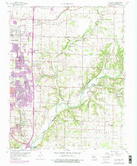
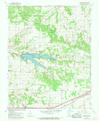
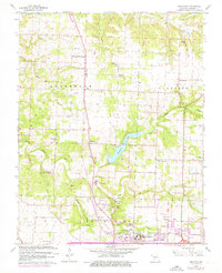
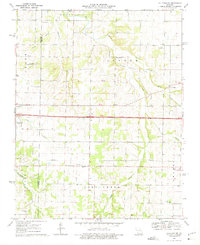
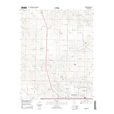
The Little Sac River and the S Dry Sac River converge north of Springfield in this Greene County landscape. The map centers on the agricultural and residential transition north of the city, focusing on the communities of Ebenezer and Glidewell. Significant water management is evident at McDaniel Lake, which dominates the central portion of the quadrangle. Geologic features of interest include the Natural Arch and Dry Sac Arch near Lost Hill, highlighting the area's karst-like topography. Genealogists and local historians can locate several burial grounds, including the Antioch Cem in the southwest and Banfield Cem near the river banks. The northern reaches are defined by a network of rural farm roads, such as W Farm Rd 36 and E Farm Rd 38, which cross numerous small tributaries like Sims Br and King Br.
Find a feature on this map
159 named features on this map. Tap any name to fly to it.
Don’t see what you’re looking for? This feature index may not catch every label — zoom into the map to look around manually.
Map Details
Editions of this 2021 Ebenezer Map
This is the sole edition of this map. No revisions or reprints were ever made.
Historical Maps of Springfield Through Time
32 maps found
1936 Brookline
Greene County, MO
1937 Galloway
Greene County, MO
1946 Bassville
Greene County, MO
1948 Bassville
Greene County, MO
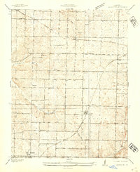
1948 Ebenezer
Greene County, MO
1948 Galloway
Greene County, MO
1960 Brookline
Greene County, MO
1960 Galloway
Greene County, MO
1961 Bassville
Greene County, MO
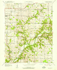
1961 Ebenezer
Greene County, MO
1969 Halltown NE
Greene County, MO
1996 Galloway
Greene County, MO
2011 Bassville
Greene County, MO
2011 Brookline
Greene County, MO
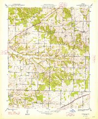
2011 Ebenezer
Greene County, MO
2011 Galloway
Greene County, MO
2011 Halltown NE
Greene County, MO
2015 Bassville
Greene County, MO
2015 Brookline
Greene County, MO
2015 Ebenezer
Greene County, MO
2015 Galloway
Greene County, MO
2015 Halltown NE
Greene County, MO
2017 Bassville
Greene County, MO
2017 Brookline
Greene County, MO
2017 Ebenezer
Greene County, MO
2017 Galloway
Greene County, MO
2017 Halltown NE
Greene County, MO
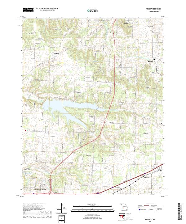
2021 Bassville
Greene County, MO
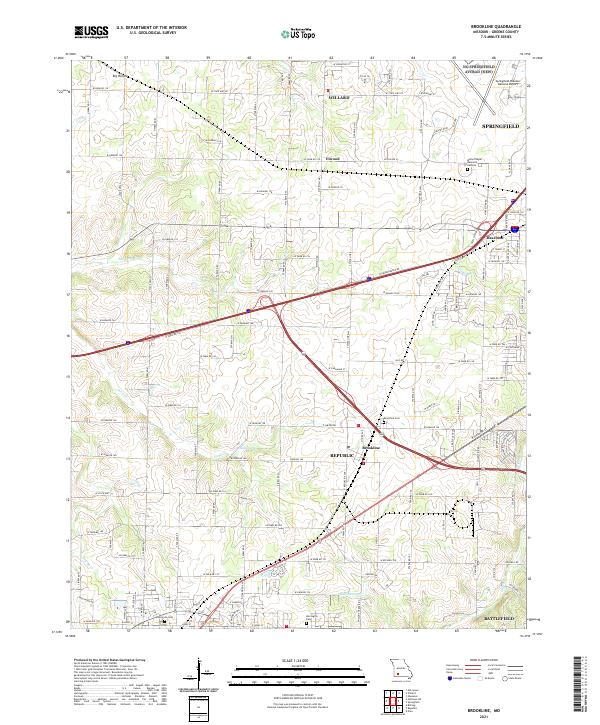
2021 Brookline
Greene County, MO
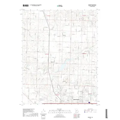
2021 Ebenezer
Greene County, MO
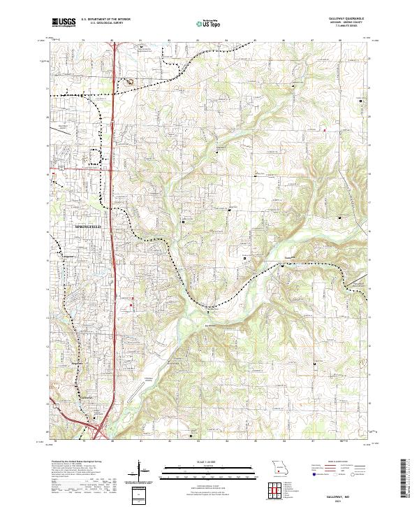
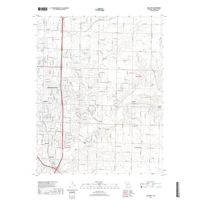
2021 Galloway
Greene County, MO
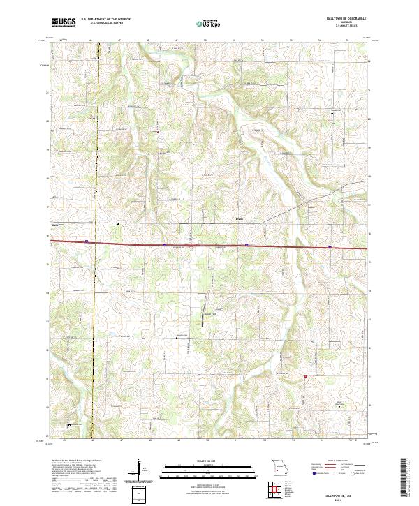
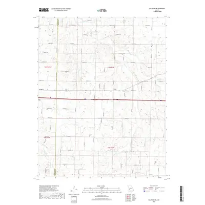
2021 Halltown NE
Greene County, MO