
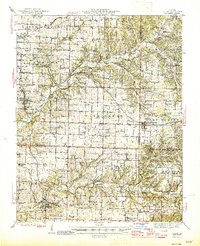
1945 Map of Ozark
USGS Topo · Published 1945About this map
The James River and Finley Creek define the geography of this Ozark plateau region, where late-war development meets an older rural landscape of caves and springs. Outside the established communities of Rogersville and Galloway, the map reveals a network of country schoolhouses like Kelly Chapel Sch and Oak Grove Sch that served dispersed farming families. Aviation and modern infrastructure are increasingly prominent, evidenced by the Springfield Airport, a dedicated Airport Radio Sta, and an Oil Pumping Sta along the St Louis San Francisco RR.
Find a feature on this map
96 named features on this map. Tap any name to fly to it.
Don’t see what you’re looking for? This feature index may not catch every label — zoom into the map to look around manually.
Map Details
Editions of this 1945 Ozark Map
2 editions found
Other maps of this area

1884 · Springfield
USGS Topo · 1:125,000

1886 · Springfield
USGS Topo · 1:125,000

1907 · Forsyth
USGS Topo · 1:125,000

1935 · Springfield
USGS Topo · 1:24,000

1937 · Galloway
USGS Topo · 1:24,000

1937 · Bradleyville
USGS Topo · 1:48,000

1937 · Ozark
USGS Topo · 1:48,000

1939 · Fordland
USGS Topo · 1:62,500

1942 · Fordland
USGS Topo · 1:62,500

1943 · Ozark
USGS Topo · 1:62,500