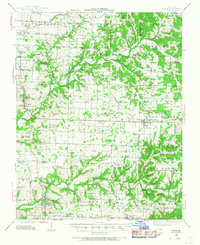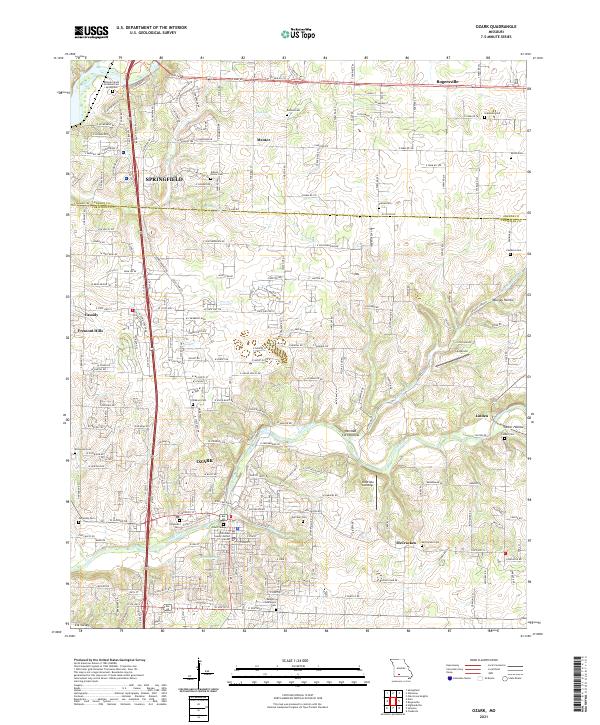
1937 Map of Ozark
USGS Topo · Published 1937About this map
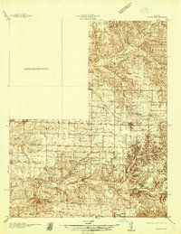
Finley Creek and the James River define the local drainage of this Missouri landscape, where the St Louis - San Francisco railroad connects the communities of Rogersville and Ozark. Recorded during the 1930s, the map reveals a dense network of rural infrastructure, including numerous family and community burial grounds such as Roller Cemetery and Holland Cemetery. The presence of landmarks like Riverside Inn and several cave systems, including Smokey Cave, Garrison Cave, and Wood Cave, suggests a landscape defined by both recreational and natural geological features.
Find a feature on this map
78 named features on this map. Tap any name to fly to it.
Don’t see what you’re looking for? This feature index may not catch every label — zoom into the map to look around manually.
Map Details
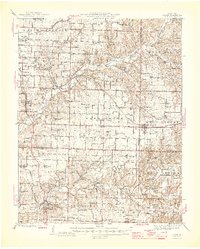
Editions of this 1937 Ozark Map
This is the sole edition of this map. No revisions or reprints were ever made.
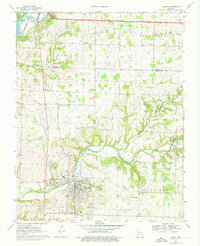
Historical Maps of Springfield Through Time
9 maps found