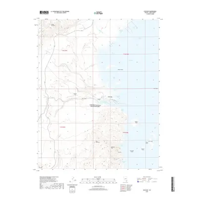
2018 Map of Echo Bay
USGS Topo · Published 2018About this map
The Lake Mead National Recreation Area dominates this landscape, where the desert meeting the water creates a complex shoreline of coves and islands. Echo Bay serves as a primary point of human activity, supported by the nearby Echo Bay Airport and access via State Route 167. The eastern portion of the map is defined by the Overton Arm and Virgin Basin, featuring several named landforms within the water such as Bighorn Island, Ramshead Island, and the Gull Islands. Inland, the terrain rises sharply into the Black Mountains and Muddy Mountains, where drainage features like Echo Wash and Rogers Wash carve through the arid environment. Of particular interest to those studying the natural topography are the Cathedral Peaks and the Blue Slide, which mark the high points of the craggy ridges overlooking Azure Cove and Cathedral Cove.
Find a feature on this map
37 named features on this map. Tap any name to fly to it.
Don’t see what you’re looking for? This feature index may not catch every label — zoom into the map to look around manually.
Map Details
Editions of this 2018 Echo Bay Map
This is the sole edition of this map. No revisions or reprints were ever made.
Other maps of this area
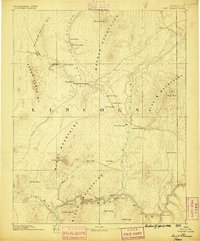
1886 · Saint Thomas
USGS Topo · 1:250,000
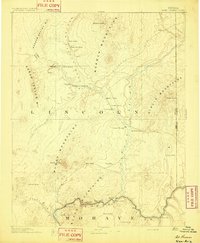
1893 · Saint Thomas
USGS Topo · 1:250,000
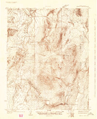
1926 · Bonelli
USGS Topo · 1:96,000
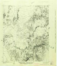
1926 · Boulder Canyon
USGS Topo · 1:96,000
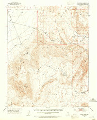
1953 · Muddy Peak
USGS Topo · 1:62,500
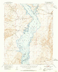
1953 · Overton Beach
USGS Topo · 1:62,500
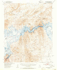
1953 · Hoover Dam
USGS Topo · 1:62,500
1953 · Virgin Basin
USGS Topo · 1:62,500
1954 · Las Vegas
USGS Topo · 1:250,000
1957 · Las Vegas
USGS Topo · 1:250,000