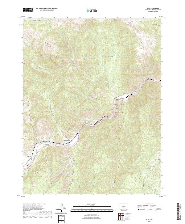
2022 Map of Echo
USGS Topo · Published 2022About this map
The Arkansas River carves a deep path through the canyon lands of Fremont County, anchoring the small settlements of Texas Creek and Echo. This 2022 survey details the complex network of drainage gulches and ridges that define the high-desert landscape. Local transit is largely defined by a system of Bureau of Land Management trails, including Blm T6036 Trl and Blm T6061a Trl, which navigate the steep elevations between Bull Ridge and the Arkansas River Canyon.
Find a feature on this map
46 named features on this map. Tap any name to fly to it.
Don’t see what you’re looking for? This feature index may not catch every label — zoom into the map to look around manually.
Map Details
Editions of this 2022 Echo Map
This is the sole edition of this map. No revisions or reprints were ever made.
Other maps of this area

1889 · Canon City
USGS Topo · 1:125,000

1892 · Canon City
USGS Topo · 1:125,000

1894 · Pikes Peak
USGS Topo · 1:125,000

1901 · Pikes Peak
USGS Topo · 1:125,000

1942 · Cover Mtn.
USGS Topo · 1:62,500

1948 · Cover Mtn.
USGS Topo · 1:62,500

1954 · Pueblo
USGS Topo · 1:250,000

1957 · Pueblo
USGS Topo · 1:250,000

1958 · Pueblo
USGS Topo · 1:250,000

1959 · Black Mountain
USGS Topo · 1:62,500